Area Overview for WS10 9JG
Photos of WS10 9JG
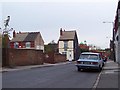
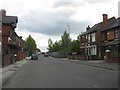
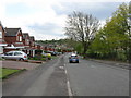
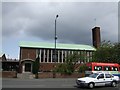
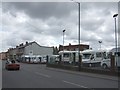
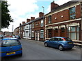
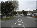
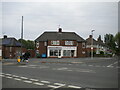
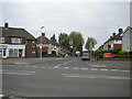
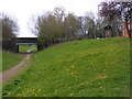
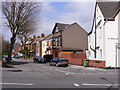
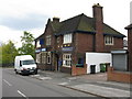
37 photos from this area
Area Information
Key information about the WS10 9JG including its size, population, and administrative classification.
- Area Type
- Postcode
- Area Size
- 2.6 hectares
- Population
- 1616
- Population Density
- 5698 people/km²
House Prices in WS10 9JG
39
Properties
£112,444
Average Sold Price
£28,000
Lowest Price
£260,000
Highest Price
Showing 39 properties
| Address | Type | Beds | Baths | Last Sale Price | Last Sale Date | |
|---|---|---|---|---|---|---|
| 57 Old Park Road, Darlaston, WS10 9JG | house | 3 | 1 | £260,000 | Nov 2022 | |
| 51 Old Park Road, Darlaston, WS10 9JG | Terraced | 3 | 1 | £155,000 | Dec 2019 | |
| 43 Old Park Road, Darlaston, WS10 9JG | Bungalow | - | - | £60,000 | Aug 2019 | |
| 136 Old Park Road, Darlaston, WS10 9JG | Detached | 3 | 1 | £166,000 | Jan 2019 | |
| 144 Old Park Road, Darlaston, WS10 9JG | Semi-detached | 4 | 2 | £170,000 | Oct 2018 | |
| 142 Old Park Road, Darlaston, WS10 9JG | Terraced | 2 | 2 | £140,000 | Feb 2018 | |
| 49 Old Park Road, Darlaston, WS10 9JG | Semi-detached | 3 | 2 | £138,000 | Jul 2017 | |
| 45 Old Park Road, Darlaston, WS10 9JG | Bungalow | 2 | 1 | £57,000 | Jul 2017 | |
| 154 Old Park Road, Darlaston, WS10 9JG | Semi-detached | 4 | - | £132,500 | Dec 2016 | |
| 59 Old Park Road, Darlaston, WS10 9JG | Detached | 4 | 1 | £230,000 | Oct 2015 |
Page 1 of 4
Energy Efficiency in WS10 9JG
Amenities
Schools
| Rank | School | Type | Entry gender | Ages |
|---|
Explore more schools in this area
Go to Schools tabDemographics
Household Size
Family (3-5 people)
most common
Accommodation Type
Houses
most common
Tenure
58
majority
Ethnic Group
asian_total
most common
Religion
N/A
most common
Household Composition
N/A
most common
Age
47
median
Adults (30-64 years)
most common
Household Deprivation
N/A
with no deprivation
NS-SEC
13
in Lower managerial occupations
Explore more demographic insights in this area
Go to Demographics tabPlanning
Planning Constraints
- Flood RiskPremium
- Ramsar Wetland SitesPremium
- Area of Outstanding Natural BeautyPremium
- Protected Nature ReservePremium
- Protected WoodlandPremium