Area Overview for WS1 4BX
Photos of WS1 4BX
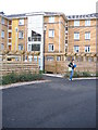
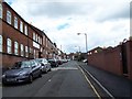
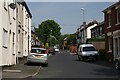
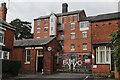
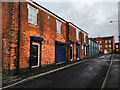
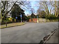
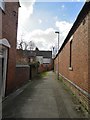
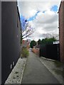
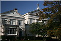
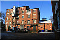
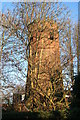
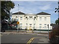
36 photos from this area
Area Information
Key information about the WS1 4BX including its size, population, and administrative classification.
- Area Type
- Postcode
- Area Size
- 2071 m²
- Population
- 1846
- Population Density
- 15487 people/km²
House Prices in WS1 4BX
15
Properties
£85,636
Average Sold Price
£20,000
Lowest Price
£135,000
Highest Price
Showing 15 properties
| Address | Type | Beds | Baths | Last Sale Price | Last Sale Date | |
|---|---|---|---|---|---|---|
| 77 Arundel Street, Walsall, WS1 4BX | house | - | - | £135,000 | Mar 2022 | |
| 69 Arundel Street, Walsall, WS1 4BX | Detached | 3 | 1 | £116,000 | Mar 2008 | |
| 71 Arundel Street, Walsall, WS1 4BX | Terraced | 3 | 1 | £98,000 | Mar 2008 | |
| 79 Arundel Street, Walsall, WS1 4BX | house | - | - | £70,500 | Jan 2008 | |
| 66 Arundel Street, Walsall, WS1 4BX | Terraced | 4 | 1 | £126,000 | Jul 2007 | |
| 75 Arundel Street, Walsall, WS1 4BX | house | - | - | £100,000 | Jun 2007 | |
| 83 Arundel Street, Walsall, WS1 4BX | house | - | - | £85,000 | Jun 2007 | |
| 85 Arundel Street, Walsall, WS1 4BX | Terraced | 3 | 1 | £73,000 | Nov 2005 | |
| 73 Arundel Street, Walsall, WS1 4BX | house | - | - | £73,000 | Jan 2004 | |
| 70 Arundel Street, Walsall, WS1 4BX | house | - | - | £45,500 | Dec 2000 |
Page 1 of 2
Energy Efficiency in WS1 4BX
Amenities
Schools
| Rank | School | Type | Entry gender | Ages |
|---|
Explore more schools in this area
Go to Schools tabDemographics
Household Size
Family (3-5 people)
most common
Accommodation Type
Houses
most common
Tenure
38
majority
Ethnic Group
asian_total
most common
Religion
N/A
most common
Household Composition
N/A
most common
Age
22
median
Adults (30-64 years)
most common
Household Deprivation
N/A
with no deprivation
NS-SEC
9
in Lower managerial occupations
Explore more demographic insights in this area
Go to Demographics tabPlanning
Planning Constraints
- Flood RiskPremium
- Ramsar Wetland SitesPremium
- Area of Outstanding Natural BeautyPremium
- Protected Nature ReservePremium
- Protected WoodlandPremium