Area Overview for WS1 4AT
Photos of WS1 4AT
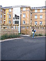
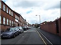
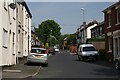
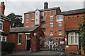
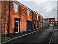
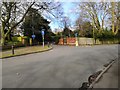
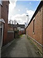
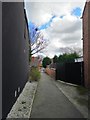
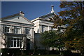
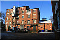
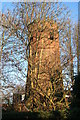
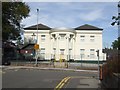
36 photos from this area
Area Information
Key information about the WS1 4AT including its size, population, and administrative classification.
- Area Type
- Postcode
- Area Size
- 9292 m²
- Population
- 1752
- Population Density
- 9553 people/km²
House Prices in WS1 4AT
43
Properties
£84,338
Average Sold Price
£41,000
Lowest Price
£140,000
Highest Price
Showing 43 properties
| Address | Type | Beds | Baths | Last Sale Price | Last Sale Date | |
|---|---|---|---|---|---|---|
| 92 Whitehall Road, Walsall, WS1 4AT | house | - | - | £90,000 | May 2023 | |
| 90 Whitehall Road, Walsall, WS1 4AT | Terraced | 2 | 1 | £137,000 | Apr 2023 | |
| 96 Whitehall Road, Walsall, WS1 4AT | house | - | - | £95,000 | Nov 2021 | |
| 149 Whitehall Road, Walsall, WS1 4AT | Terraced | - | - | £140,000 | Apr 2014 | |
| 106 Whitehall Road, Walsall, WS1 4AT | Terraced | 3 | 1 | £90,000 | Oct 2008 | |
| 110 Whitehall Road, Walsall, WS1 4AT | house | - | - | £112,500 | Oct 2007 | |
| 137 Whitehall Road, Walsall, WS1 4AT | house | - | - | £80,000 | May 2007 | |
| 98 Whitehall Road, Walsall, WS1 4AT | house | - | - | £83,000 | Jul 2006 | |
| 143 Whitehall Road, Walsall, WS1 4AT | Terraced | 3 | 1 | £90,000 | Jul 2004 | |
| 145 Whitehall Road, Walsall, WS1 4AT | Terraced | 4 | 1 | £89,950 | Dec 2003 |
Page 1 of 5
Energy Efficiency in WS1 4AT
Amenities
Schools
| Rank | School | Type | Entry gender | Ages |
|---|
Explore more schools in this area
Go to Schools tabDemographics
Household Size
Family (3-5 people)
most common
Accommodation Type
Houses
most common
Tenure
34
majority
Ethnic Group
asian_total
most common
Religion
N/A
most common
Household Composition
N/A
most common
Age
47
median
Adults (30-64 years)
most common
Household Deprivation
N/A
with no deprivation
NS-SEC
14
in Lower managerial occupations
Explore more demographic insights in this area
Go to Demographics tabPlanning
Planning Constraints
- Flood RiskPremium
- Ramsar Wetland SitesPremium
- Area of Outstanding Natural BeautyPremium
- Protected Nature ReservePremium
- Protected WoodlandPremium