Area Overview for WR14 2JD
Photos of WR14 2JD

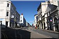
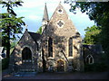
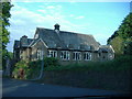
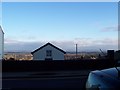
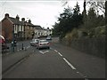
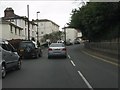

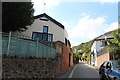
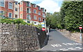
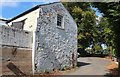
100 photos from this area
Area Information
Key information about the WR14 2JD including its size, population, and administrative classification.
- Area Type
- Postcode
- Area Size
- 5016 m²
- Population
- 1497
- Population Density
- 1518 people/km²
House Prices in WR14 2JD
20
Properties
£192,214
Average Sold Price
£60,000
Lowest Price
£266,000
Highest Price
Showing 20 properties
| Address | Type | Beds | Baths | Last Sale Price | Last Sale Date | |
|---|---|---|---|---|---|---|
| 8 Oxford Road, Malvern, WR14 2JD | Terraced | 2 | 1 | £225,000 | Feb 2024 | |
| 6 Oxford Road, Malvern, WR14 2JD | Terraced | 1 | 1 | £266,000 | Sep 2022 | |
| 16 Oxford Road, Malvern, WR14 2JD | Terraced | 2 | 1 | £209,500 | Nov 2021 | |
| 7 Oxford Road, Malvern, WR14 2JD | Semi-detached | 3 | 1 | £255,000 | Feb 2019 | |
| 18 Oxford Road, Malvern, WR14 2JD | Terraced | 2 | 1 | £125,000 | Nov 2003 | |
| 5 Oxford Road, Malvern, WR14 2JD | house | - | - | £205,000 | Nov 2003 | |
| 14 Oxford Road, Malvern, WR14 2JD | Terraced | 2 | 1 | £60,000 | Jul 2000 | |
| 4 Oxford Road, Malvern, WR14 2JD | Terraced | 2 | 2 | - | - | |
| Top Flat, 10 Oxford Road, Malvern, WR14 2JD | Flat | - | - | - | - | |
| Bottom Flat, 10 Oxford Road, Malvern, WR14 2JD | Flat | - | - | - | - |
Page 1 of 2
Energy Efficiency in WR14 2JD
Amenities
Schools
| Rank | School | Type | Entry gender | Ages |
|---|
Explore more schools in this area
Go to Schools tabDemographics
Household Size
One person
most common
Accommodation Type
Flats
most common
Tenure
63
majority
Ethnic Group
White
most common
Religion
N/A
most common
Household Composition
N/A
most common
Age
47
median
Adults (30-64 years)
most common
Household Deprivation
N/A
with no deprivation
NS-SEC
48
in Lower managerial occupations
Explore more demographic insights in this area
Go to Demographics tabPlanning
Planning Constraints
- Flood RiskPremium
- Ramsar Wetland SitesPremium
- Area of Outstanding Natural BeautyPremium
- Protected Nature ReservePremium
- Protected WoodlandPremium