Area Overview for WR14 1NY
Photos of WR14 1NY

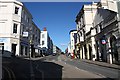
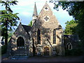
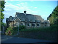
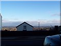
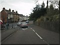


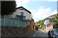
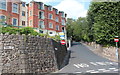
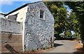
100 photos from this area
Area Information
Key information about the WR14 1NY including its size, population, and administrative classification.
- Area Type
- Postcode
- Area Size
- 3338 m²
- Population
- 1497
- Population Density
- 1518 people/km²
House Prices in WR14 1NY
19
Properties
£173,333
Average Sold Price
£110,000
Lowest Price
£220,000
Highest Price
Showing 19 properties
| Address | Type | Beds | Baths | Last Sale Price | Last Sale Date | |
|---|---|---|---|---|---|---|
| 82 Worcester Road, Malvern, WR14 1NY | Semi-detached | 2 | 1 | £220,000 | Nov 2023 | |
| 82A Worcester Road, Malvern, WR14 1NY | Semi-detached | 2 | 1 | £190,000 | Nov 2021 | |
| 102 Worcester Road, Malvern, WR14 1NY | Semi-detached | 3 | - | £110,000 | Mar 2011 | |
| Owners Accommodation At, The Vaults Inn, 102 Worcester Road, Malvern, WR14 1NY | Flat | - | - | - | - | |
| Flat Above, 98 Worcester Road, Malvern, WR14 1NY | Flat | - | - | - | - | |
| Apartment 5, The Vaults Apartments, 100A Worcester Road, Malvern, WR14 1NY | Flat | - | - | - | - | |
| 102B Worcester Road, Malvern, WR14 1NY | Bungalow | - | - | - | - | |
| Flat 3, 96 Worcester Road, Malvern, WR14 1NY | Flat | - | - | - | - | |
| Flat 2, 96 Worcester Road, Malvern, WR14 1NY | Flat | - | - | - | - | |
| Flat 1, 96 Worcester Road, Malvern, WR14 1NY | Flat | 1 | 1 | - | - |
Page 1 of 2
Energy Efficiency in WR14 1NY
Amenities
Schools
| Rank | School | Type | Entry gender | Ages |
|---|
Explore more schools in this area
Go to Schools tabDemographics
Household Size
One person
most common
Accommodation Type
Flats
most common
Tenure
63
majority
Ethnic Group
White
most common
Religion
N/A
most common
Household Composition
N/A
most common
Age
47
median
Adults (30-64 years)
most common
Household Deprivation
N/A
with no deprivation
NS-SEC
48
in Lower managerial occupations
Explore more demographic insights in this area
Go to Demographics tabPlanning
Planning Constraints
- Flood RiskPremium
- Ramsar Wetland SitesPremium
- Area of Outstanding Natural BeautyPremium
- Protected Nature ReservePremium
- Protected WoodlandPremium