Area Overview for WR10 1EB
Photos of WR10 1EB

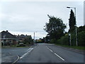
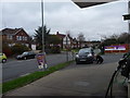
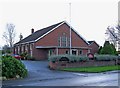
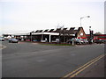
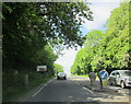
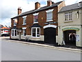
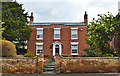
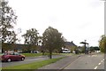
100 photos from this area
Area Information
Key information about the WR10 1EB including its size, population, and administrative classification.
- Area Type
- Postcode
- Area Size
- 9302 m²
- Population
- 1335
- Population Density
- 2937 people/km²
House Prices in WR10 1EB
24
Properties
£96,693
Average Sold Price
£42,000
Lowest Price
£156,000
Highest Price
Showing 24 properties
| Address | Type | Beds | Baths | Last Sale Price | Last Sale Date | |
|---|---|---|---|---|---|---|
| 26 Priest Lane, Pershore, WR10 1EB | house | - | - | £155,000 | Aug 2019 | |
| 28 Priest Lane, Pershore, WR10 1EB | house | 2 | 1 | £156,000 | Jul 2019 | |
| 20 Priest Lane, Pershore, WR10 1EB | Terraced | 2 | - | £137,000 | Nov 2016 | |
| 32 Priest Lane, Pershore, WR10 1EB | house | - | - | £74,000 | Apr 2002 | |
| 30 Priest Lane, Pershore, WR10 1EB | house | - | - | £57,900 | Nov 2001 | |
| 22 Priest Lane, Pershore, WR10 1EB | house | 3 | 1 | £54,950 | Jan 1998 | |
| 18 Priest Lane, Pershore, WR10 1EB | Terraced | - | - | £42,000 | Jul 1996 | |
| 24A Priest Lane, Pershore, WR10 1EB | Terraced | 2 | 1 | - | - | |
| The Belfry, 16A Priest Lane, Pershore, WR10 1EB | house | 2 | 2 | - | - | |
| Holly Cottage, 24 Priest Lane, Pershore, WR10 1EB | house | 3 | - | - | - |
Page 1 of 3
Energy Efficiency in WR10 1EB
Amenities
Schools
| Rank | School | Type | Entry gender | Ages |
|---|
Explore more schools in this area
Go to Schools tabDemographics
Household Size
One person
most common
Accommodation Type
Houses
most common
Tenure
42
majority
Ethnic Group
White
most common
Religion
N/A
most common
Household Composition
N/A
most common
Age
47
median
Adults (30-64 years)
most common
Household Deprivation
N/A
with no deprivation
NS-SEC
26
in Lower managerial occupations
Explore more demographic insights in this area
Go to Demographics tabPlanning
Planning Constraints
- Flood RiskPremium
- Ramsar Wetland SitesPremium
- Area of Outstanding Natural BeautyPremium
- Protected Nature ReservePremium
- Protected WoodlandPremium