Area Overview for WR10 1DU
Photos of WR10 1DU
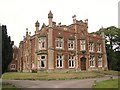
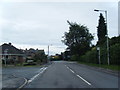
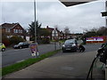
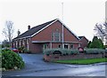
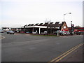
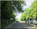
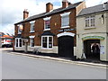
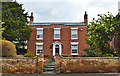
100 photos from this area
Area Information
Key information about the WR10 1DU including its size, population, and administrative classification.
- Area Type
- Postcode
- Area Size
- 6946 m²
- Population
- 2432
- Population Density
- 545 people/km²
House Prices in WR10 1DU
31
Properties
£207,571
Average Sold Price
£48,000
Lowest Price
£405,000
Highest Price
Showing 31 properties
| Address | Type | Beds | Baths | Last Sale Price | Last Sale Date | |
|---|---|---|---|---|---|---|
| 90 High Street, Pershore, WR10 1DU | house | - | - | £229,500 | Oct 2021 | |
| 80 High Street, Pershore, WR10 1DU | house | 3 | - | £270,000 | Jun 2019 | |
| 84 High Street, Pershore, WR10 1DU | Terraced | - | - | £405,000 | Nov 2017 | |
| 74 High Street, Pershore, WR10 1DU | house | 2 | 1 | £205,000 | Dec 2014 | |
| 92 High Street, Pershore, WR10 1DU | Terraced | - | - | £155,000 | Jul 2007 | |
| 94 High Street, Pershore, WR10 1DU | house | 3 | - | £140,500 | May 2007 | |
| 88 High Street, Pershore, WR10 1DU | Terraced | - | - | £48,000 | Oct 1996 | |
| The Old Saddlery, 64 High Street, Pershore, WR10 1DU | Flat | - | - | - | - | |
| The Annexe, 64 High Street, Pershore, WR10 1DU | house | - | - | - | - | |
| Flat 3, 82 High Street, Pershore, WR10 1DU | Flat | - | - | - | - |
Page 1 of 4
Energy Efficiency in WR10 1DU
Amenities
Schools
| Rank | School | Type | Entry gender | Ages |
|---|
Explore more schools in this area
Go to Schools tabDemographics
Household Size
Two person
most common
Accommodation Type
Houses
most common
Tenure
59
majority
Ethnic Group
White
most common
Religion
N/A
most common
Household Composition
N/A
most common
Age
47
median
Adults (30-64 years)
most common
Household Deprivation
N/A
with no deprivation
NS-SEC
31
in Lower managerial occupations
Explore more demographic insights in this area
Go to Demographics tabPlanning
Planning Constraints
- Flood RiskPremium
- Ramsar Wetland SitesPremium
- Area of Outstanding Natural BeautyPremium
- Protected Nature ReservePremium
- Protected WoodlandPremium