Area Overview for SY8 4HG
Photos of SY8 4HG

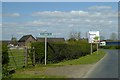
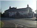
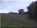
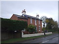
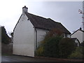
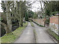
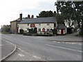
25 photos from this area
Area Information
Key information about the SY8 4HG including its size, population, and administrative classification.
- Area Type
- Postcode
- Area Size
- 35.1 hectares
- Population
- 1417
- Population Density
- 52 people/km²
House Prices in SY8 4HG
15
Properties
£367,000
Average Sold Price
£300,000
Lowest Price
£491,000
Highest Price
Showing 15 properties
| Address | Type | Beds | Baths | Last Sale Price | Last Sale Date | |
|---|---|---|---|---|---|---|
| The Granary, Portway Lane, Orleton, SY8 4HG | house | - | - | £491,000 | Aug 2021 | |
| Bluebell Cottage, Portway Lane, Orleton, SY8 4HG | Terraced | - | - | £300,000 | Jun 2011 | |
| The Hayloft, Portway Lane, Orleton, SY8 4HG | Detached | 4 | 3 | £310,000 | Feb 2009 | |
| Oakleigh, Portway Lane, Orleton, SY8 4HG | Bungalow | - | - | - | - | |
| Formerly Plot 1, Portway Cottage Farm, Portway Lane, Orleton, SY8 4HG | undefined | - | - | - | - | |
| Plot 4 Barn Conversion 4, Portway Farm And Farm House, B 4361 From Little Folly To Angora Wood Farm, Orleton, SY8 4HG | Terraced | - | - | - | - | |
| Plot 3 Barn Conversion 3, Portway Farm And Farm House, B 4361 From Little Folly To Angora Wood Farm, Orleton, SY8 4HG | Terraced | - | - | - | - | |
| Mobile Home, The Grove, Portway Lane, Orleton, SY8 4HG | Mobile Home | - | - | - | - | |
| Portway Cottage Farm, Portway Lane, Orleton, SY8 4HG | Detached | - | - | - | - | |
| The Grove, Portway Lane, Orleton, SY8 4HG | Mobile Home | - | - | - | - |
Page 1 of 2
Energy Efficiency in SY8 4HG
Amenities
Schools
| Rank | School | Type | Entry gender | Ages |
|---|
Explore more schools in this area
Go to Schools tabDemographics
Household Size
Two person
most common
Accommodation Type
Houses
most common
Tenure
84
majority
Ethnic Group
White
most common
Religion
N/A
most common
Household Composition
N/A
most common
Age
47
median
Adults (30-64 years)
most common
Household Deprivation
N/A
with no deprivation
NS-SEC
39
in Lower managerial occupations
Explore more demographic insights in this area
Go to Demographics tabPlanning
Planning Constraints
- Flood RiskPremium
- Ramsar Wetland SitesPremium
- Area of Outstanding Natural BeautyPremium
- Protected Nature ReservePremium
- Protected WoodlandPremium