Area Overview for SY8 2PH
Photos of SY8 2PH
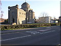
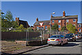
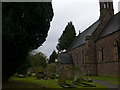
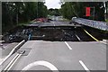
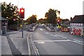
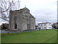
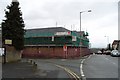
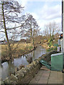
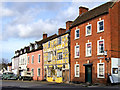
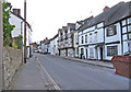
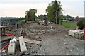
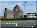
100 photos from this area
Area Information
Key information about the SY8 2PH including its size, population, and administrative classification.
- Area Type
- Postcode
- Area Size
- 8720 m²
- Population
- 1230
- Population Density
- 2329 people/km²
House Prices in SY8 2PH
22
Properties
£166,769
Average Sold Price
£51,500
Lowest Price
£295,000
Highest Price
Showing 22 properties
| Address | Type | Beds | Baths | Last Sale Price | Last Sale Date | |
|---|---|---|---|---|---|---|
| 7 Stanton Drive, Ludlow, SY8 2PH | Detached | 3 | 2 | £295,000 | Apr 2023 | |
| 3 Stanton Drive, Ludlow, SY8 2PH | house | - | - | £260,000 | Oct 2022 | |
| Elanie, 1 Stanton Drive, Ludlow, SY8 2PH | house | - | - | £280,000 | Feb 2018 | |
| 15 Stanton Drive, Ludlow, SY8 2PH | Detached | 4 | - | £165,000 | Nov 2015 | |
| Abacus, 10 Stanton Drive, Ludlow, SY8 2PH | Detached | 4 | 1 | £235,000 | Jan 2014 | |
| 4 Stanton Drive, Ludlow, SY8 2PH | house | - | - | £245,000 | Feb 2010 | |
| 12 Stanton Drive, Ludlow, SY8 2PH | house | - | - | £178,000 | Nov 2009 | |
| 11 Stanton Drive, Ludlow, SY8 2PH | house | - | - | £172,000 | Aug 2007 | |
| 5 Stanton Drive, Ludlow, SY8 2PH | Detached | - | - | £74,000 | Jan 2000 | |
| 21 Stanton Drive, Ludlow, SY8 2PH | Semi-detached | - | - | £65,500 | Oct 1999 |
Page 1 of 3
Energy Efficiency in SY8 2PH
Amenities
Schools
| Rank | School | Type | Entry gender | Ages |
|---|
Explore more schools in this area
Go to Schools tabDemographics
Household Size
Two person
most common
Accommodation Type
Houses
most common
Tenure
80
majority
Ethnic Group
White
most common
Religion
N/A
most common
Household Composition
N/A
most common
Age
47
median
Adults (30-64 years)
most common
Household Deprivation
N/A
with no deprivation
NS-SEC
31
in Lower managerial occupations
Explore more demographic insights in this area
Go to Demographics tabPlanning
Planning Constraints
- Flood RiskPremium
- Ramsar Wetland SitesPremium
- Area of Outstanding Natural BeautyPremium
- Protected Nature ReservePremium
- Protected WoodlandPremium