Area Overview for SY8 2PD
Photos of SY8 2PD
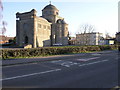
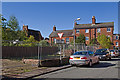
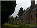
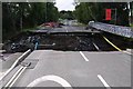
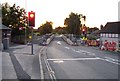
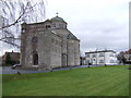
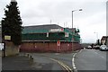
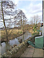
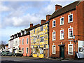
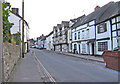
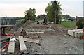
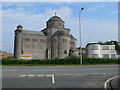
100 photos from this area
Area Information
Key information about the SY8 2PD including its size, population, and administrative classification.
- Area Type
- Postcode
- Area Size
- 1.1 hectares
- Population
- 1230
- Population Density
- 2329 people/km²
House Prices in SY8 2PD
34
Properties
£175,892
Average Sold Price
£52,000
Lowest Price
£295,000
Highest Price
Showing 34 properties
| Address | Type | Beds | Baths | Last Sale Price | Last Sale Date | |
|---|---|---|---|---|---|---|
| 31 Beech Close, Ludlow, SY8 2PD | house | 4 | 1 | £285,000 | May 2025 | |
| 27 Beech Close, Ludlow, SY8 2PD | house | 4 | 1 | £280,000 | Apr 2025 | |
| 22 Beech Close, Ludlow, SY8 2PD | Terraced | 1 | 1 | £120,000 | Oct 2023 | |
| Lansdowne, 11A Beech Close, Ludlow, SY8 2PD | Detached | 3 | 1 | £295,000 | Jul 2023 | |
| 18 Beech Close, Ludlow, SY8 2PD | Terraced | 2 | 1 | £175,000 | Dec 2022 | |
| 14 Beech Close, Ludlow, SY8 2PD | Terraced | 2 | 1 | £172,000 | Oct 2021 | |
| 35 Beech Close, Ludlow, SY8 2PD | house | - | - | £219,100 | Apr 2019 | |
| 17 Beech Close, Ludlow, SY8 2PD | Bungalow | - | - | £215,000 | Nov 2018 | |
| 37 Beech Close, Ludlow, SY8 2PD | house | 3 | 1 | £199,500 | Jul 2018 | |
| 11 Beech Close, Ludlow, SY8 2PD | house | - | - | £210,000 | Jul 2018 |
Page 1 of 4
Energy Efficiency in SY8 2PD
Amenities
Schools
| Rank | School | Type | Entry gender | Ages |
|---|
Explore more schools in this area
Go to Schools tabDemographics
Household Size
Two person
most common
Accommodation Type
Houses
most common
Tenure
80
majority
Ethnic Group
White
most common
Religion
N/A
most common
Household Composition
N/A
most common
Age
47
median
Adults (30-64 years)
most common
Household Deprivation
N/A
with no deprivation
NS-SEC
31
in Lower managerial occupations
Explore more demographic insights in this area
Go to Demographics tabPlanning
Planning Constraints
- Flood RiskPremium
- Ramsar Wetland SitesPremium
- Area of Outstanding Natural BeautyPremium
- Protected Nature ReservePremium
- Protected WoodlandPremium