Area Overview for SY10 8HB
Photos of SY10 8HB
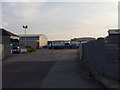
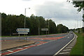
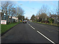
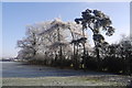
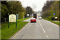
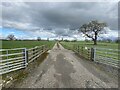
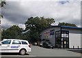
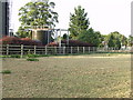
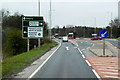
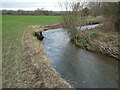
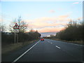
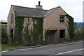
12 photos from this area
Area Information
Key information about the SY10 8HB including its size, population, and administrative classification.
- Area Type
- Postcode
- Area Size
- 2.0 km²
- Population
- 1251
- Population Density
- 39 people/km²
House Prices in SY10 8HB
15
Properties
£475,333
Average Sold Price
£92,000
Lowest Price
£880,000
Highest Price
Showing 15 properties
| Address | Type | Beds | Baths | Last Sale Price | Last Sale Date | |
|---|---|---|---|---|---|---|
| Pentre Coed Farm, Maesbury Road, Maesbury, SY10 8HB | house | - | - | £880,000 | Dec 2022 | |
| Yew Tree Cottage, Junction East Of Methodist Church To Bridge Over River Morda, Maesbury, SY10 8HB | Retail | 4 | 2 | £575,000 | Oct 2022 | |
| The Coach House, Maesbury Road, Maesbury, SY10 8HB | house | - | - | £590,000 | Sep 2021 | |
| Pentre Coed House, Maesbury Road, Maesbury, SY10 8HB | Detached | 4 | 2 | £435,000 | Jan 2016 | |
| The Lawns, Maesbury Road, Maesbury, SY10 8HB | Detached | - | - | £280,000 | Jul 2004 | |
| The Elms, Maesbury Road, Maesbury, SY10 8HB | Detached | - | - | £92,000 | Oct 2000 | |
| Crumpwell Farm, Maesbury Road, Maesbury, SY10 8HB | Semi-detached | 4 | - | - | - | |
| Bethesda Methodist Church, Junction East Of Methodist Church To Bridge Over River Morda, Maesbury, SY10 8HB | Detached | - | - | - | - | |
| Buckley Farm, Maesbury Road, Maesbury, SY10 8HB | Detached | - | - | - | - | |
| Bay Tree Cottage, Junction East Of Methodist Church To Bridge Over River Morda, Maesbury, SY10 8HB | house | - | - | - | - |
Page 1 of 2
Energy Efficiency in SY10 8HB
Amenities
Schools
| Rank | School | Type | Entry gender | Ages |
|---|
Explore more schools in this area
Go to Schools tabDemographics
Household Size
Two person
most common
Accommodation Type
Houses
most common
Tenure
81
majority
Ethnic Group
White
most common
Religion
N/A
most common
Household Composition
N/A
most common
Age
47
median
Adults (30-64 years)
most common
Household Deprivation
N/A
with no deprivation
NS-SEC
38
in Lower managerial occupations
Explore more demographic insights in this area
Go to Demographics tabPlanning
Planning Constraints
- Flood RiskPremium
- Ramsar Wetland SitesPremium
- Area of Outstanding Natural BeautyPremium
- Protected Nature ReservePremium
- Protected WoodlandPremium