Area Overview for SY1 2UG
Photos of SY1 2UG
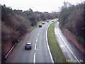
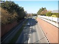
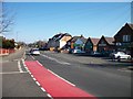
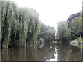
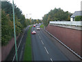
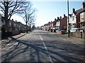
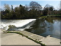
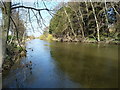
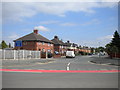
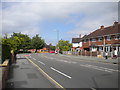
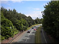
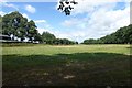
100 photos from this area
Area Information
Key information about the SY1 2UG including its size, population, and administrative classification.
- Area Type
- Postcode
- Area Size
- 3.5 hectares
- Population
- 1970
- Population Density
- 4209 people/km²
House Prices in SY1 2UG
78
Properties
£127,940
Average Sold Price
£6,625
Lowest Price
£404,000
Highest Price
Showing 78 properties
| Address | Type | Beds | Baths | Last Sale Price | Last Sale Date | |
|---|---|---|---|---|---|---|
| 23 Darville, Shrewsbury, SY1 2UG | Detached | - | - | £125,000 | Jun 2025 | |
| 4 Darville, Shrewsbury, SY1 2UG | Bungalow | 2 | 1 | £245,000 | Mar 2025 | |
| 2 Darville, Shrewsbury, SY1 2UG | Bungalow | 2 | 1 | £250,000 | Mar 2025 | |
| 9 Darville, Shrewsbury, SY1 2UG | Maisonette | - | - | £72,000 | Jan 2025 | |
| 21 Darville, Shrewsbury, SY1 2UG | Bungalow | 3 | 1 | £297,500 | Jan 2025 | |
| 56 Darville, Shrewsbury, SY1 2UG | Semi-detached | 4 | 1 | £275,000 | Jul 2024 | |
| 31 Darville, Shrewsbury, SY1 2UG | house | - | - | £330,000 | Jan 2024 | |
| 8 Darville, Shrewsbury, SY1 2UG | Bungalow | - | - | £285,000 | Jun 2023 | |
| The Brambles, Darville, Shrewsbury, SY1 2UG | Detached | 4 | 1 | £385,000 | May 2022 | |
| 15 Darville, Shrewsbury, SY1 2UG | Flat | - | - | £78,000 | Mar 2022 |
Page 1 of 8
Energy Efficiency in SY1 2UG
Amenities
Schools
| Rank | School | Type | Entry gender | Ages |
|---|
Explore more schools in this area
Go to Schools tabDemographics
Household Size
One person
most common
Accommodation Type
Houses
most common
Tenure
58
majority
Ethnic Group
White
most common
Religion
N/A
most common
Household Composition
N/A
most common
Age
47
median
Adults (30-64 years)
most common
Household Deprivation
N/A
with no deprivation
NS-SEC
26
in Lower managerial occupations
Explore more demographic insights in this area
Go to Demographics tabPlanning
Planning Constraints
- Flood RiskPremium
- Ramsar Wetland SitesPremium
- Area of Outstanding Natural BeautyPremium
- Protected Nature ReservePremium
- Protected WoodlandPremium