Area Overview for ST9 0EU
Photos of ST9 0EU
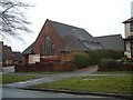
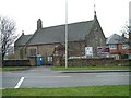
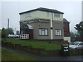
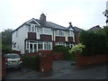
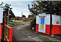
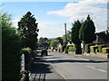
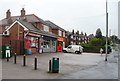
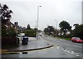
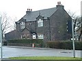
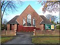
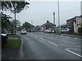
17 photos from this area
Area Information
Key information about the ST9 0EU including its size, population, and administrative classification.
- Area Type
- Postcode
- Area Size
- 5939 m²
- Population
- 1607
- Population Density
- 3194 people/km²
House Prices in ST9 0EU
16
Properties
£132,994
Average Sold Price
£47,000
Lowest Price
£175,000
Highest Price
Showing 16 properties
| Address | Type | Beds | Baths | Last Sale Price | Last Sale Date | |
|---|---|---|---|---|---|---|
| 66 Moss Park Avenue, Werrington, ST9 0EU | Retail | 2 | 1 | £150,000 | Feb 2022 | |
| 58 Moss Park Avenue, Werrington, ST9 0EU | Semi-detached | 3 | 1 | £174,000 | Nov 2020 | |
| 47 Moss Park Avenue, Werrington, ST9 0EU | Semi-detached | 3 | 1 | £145,000 | May 2020 | |
| 55 Moss Park Avenue, Werrington, ST9 0EU | Semi-detached | 3 | 1 | £159,950 | Dec 2018 | |
| 60 Moss Park Avenue, Werrington, ST9 0EU | Semi-detached | 3 | - | £155,000 | Jan 2018 | |
| 72 Moss Park Avenue, Werrington, ST9 0EU | Bungalow | 4 | - | £175,000 | Jun 2010 | |
| 53 Moss Park Avenue, Werrington, ST9 0EU | Semi-detached | - | - | £47,000 | Aug 2000 | |
| 74 Moss Park Avenue, Werrington, ST9 0EU | Semi-detached | - | - | £58,000 | May 1998 | |
| 49 Moss Park Avenue, Werrington, ST9 0EU | Semi-detached | 3 | - | - | - | |
| 57 Moss Park Avenue, Werrington, ST9 0EU | Bungalow | 2 | - | - | - |
Page 1 of 2
Energy Efficiency in ST9 0EU
Amenities
Schools
| Rank | School | Type | Entry gender | Ages |
|---|
Explore more schools in this area
Go to Schools tabDemographics
Household Size
Two person
most common
Accommodation Type
Houses
most common
Tenure
84
majority
Ethnic Group
White
most common
Religion
N/A
most common
Household Composition
N/A
most common
Age
47
median
Adults (30-64 years)
most common
Household Deprivation
N/A
with no deprivation
NS-SEC
30
in Lower managerial occupations
Explore more demographic insights in this area
Go to Demographics tabPlanning
Planning Constraints
- Flood RiskPremium
- Ramsar Wetland SitesPremium
- Area of Outstanding Natural BeautyPremium
- Protected Nature ReservePremium
- Protected WoodlandPremium