Area Overview for ST9 0EN
Photos of ST9 0EN
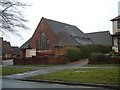
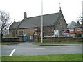
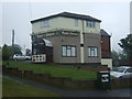
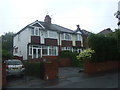
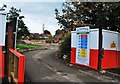
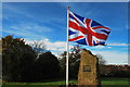
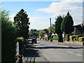
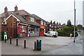
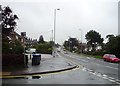
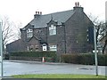
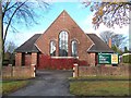
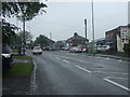
17 photos from this area
Area Information
Key information about the ST9 0EN including its size, population, and administrative classification.
- Area Type
- Postcode
- Area Size
- 6039 m²
- Population
- 1607
- Population Density
- 3194 people/km²
House Prices in ST9 0EN
21
Properties
£123,161
Average Sold Price
£44,000
Lowest Price
£183,000
Highest Price
Showing 21 properties
| Address | Type | Beds | Baths | Last Sale Price | Last Sale Date | |
|---|---|---|---|---|---|---|
| 10 Alan Dale, Werrington, ST9 0EN | Semi-detached | 3 | 1 | £145,000 | Feb 2024 | |
| 22 Alan Dale, Werrington, ST9 0EN | house | - | - | £168,750 | Jun 2021 | |
| 16 Alan Dale, Werrington, ST9 0EN | Semi-detached | 3 | 1 | £155,000 | Sep 2020 | |
| 11 Alan Dale, Werrington, ST9 0EN | Semi-detached | 3 | 1 | £160,000 | Aug 2019 | |
| 20 Alan Dale, Werrington, ST9 0EN | Semi-detached | 3 | 1 | £165,000 | Dec 2018 | |
| 5 Alan Dale, Werrington, ST9 0EN | Semi-detached | 3 | 1 | £147,500 | Apr 2017 | |
| 3 Alan Dale, Werrington, ST9 0EN | Semi-detached | 4 | 1 | £145,000 | Jul 2014 | |
| 7 Alan Dale, Werrington, ST9 0EN | Semi-detached | 3 | - | £123,000 | Jul 2014 | |
| 30 Alan Dale, Werrington, ST9 0EN | house | 3 | - | £183,000 | Jul 2013 | |
| 26 Alan Dale, Werrington, ST9 0EN | Semi-detached | - | - | £128,000 | Jun 2004 |
Page 1 of 3
Energy Efficiency in ST9 0EN
Amenities
Schools
| Rank | School | Type | Entry gender | Ages |
|---|
Explore more schools in this area
Go to Schools tabDemographics
Household Size
Two person
most common
Accommodation Type
Houses
most common
Tenure
84
majority
Ethnic Group
White
most common
Religion
N/A
most common
Household Composition
N/A
most common
Age
47
median
Adults (30-64 years)
most common
Household Deprivation
N/A
with no deprivation
NS-SEC
30
in Lower managerial occupations
Explore more demographic insights in this area
Go to Demographics tabPlanning
Planning Constraints
- Flood RiskPremium
- Ramsar Wetland SitesPremium
- Area of Outstanding Natural BeautyPremium
- Protected Nature ReservePremium
- Protected WoodlandPremium