Area Overview for ST6 8TX
Photos of ST6 8TX
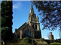
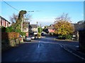
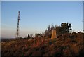
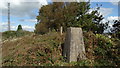
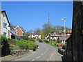
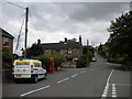
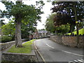
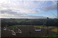
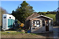
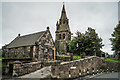
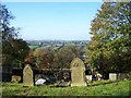
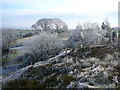
15 photos from this area
Area Information
Key information about the ST6 8TX including its size, population, and administrative classification.
- Area Type
- Postcode
- Area Size
- 8.1 hectares
- Population
- 1426
- Population Density
- 221 people/km²
House Prices in ST6 8TX
24
Properties
£261,611
Average Sold Price
£162,500
Lowest Price
£460,000
Highest Price
Showing 24 properties
| Address | Type | Beds | Baths | Last Sale Price | Last Sale Date | |
|---|---|---|---|---|---|---|
| Four Winds, Hill Top, Brown Edge, ST6 8TX | Bungalow | - | - | £375,000 | Nov 2024 | |
| The Mount, Hill Top, Brown Edge, ST6 8TX | Semi-detached | 3 | 1 | £217,000 | Apr 2021 | |
| 2 Hill Top, Brown Edge, ST6 8TX | Semi-detached | 2 | 2 | £162,500 | Sep 2020 | |
| Meadowcroft, Hill Top, Brown Edge, ST6 8TX | Bungalow | 3 | 1 | £260,000 | Nov 2019 | |
| Hill Top Farm, Hill Top, Brown Edge, ST6 8TX | Detached | 3 | 2 | £460,000 | Dec 2016 | |
| Hillcrest, Hill Top, Brown Edge, ST6 8TX | Semi-detached | 3 | 1 | £280,000 | Dec 2016 | |
| Mission Cottage, Hill Top, Brown Edge, ST6 8TX | Detached | 3 | 1 | £170,000 | Jun 2006 | |
| Stanley View, Hill Top, Brown Edge, ST6 8TX | Detached | - | - | £190,000 | Apr 2006 | |
| Woodstock, Hill Top, Brown Edge, ST6 8TX | Semi-detached | 3 | - | £240,000 | Jun 2004 | |
| Hill Top Cottage 2, Hill Top, Brown Edge, ST6 8TX | Cottage | 3 | 1 | - | - |
Page 1 of 3
Energy Efficiency in ST6 8TX
Amenities
Schools
| Rank | School | Type | Entry gender | Ages |
|---|
Explore more schools in this area
Go to Schools tabDemographics
Household Size
Two person
most common
Accommodation Type
Houses
most common
Tenure
92
majority
Ethnic Group
White
most common
Religion
N/A
most common
Household Composition
N/A
most common
Age
47
median
Adults (30-64 years)
most common
Household Deprivation
N/A
with no deprivation
NS-SEC
33
in Lower managerial occupations
Explore more demographic insights in this area
Go to Demographics tabPlanning
Planning Constraints
- Flood RiskPremium
- Ramsar Wetland SitesPremium
- Area of Outstanding Natural BeautyPremium
- Protected Nature ReservePremium
- Protected WoodlandPremium