Area Overview for ST6 6DE
Photos of ST6 6DE

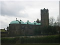
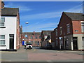
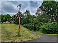

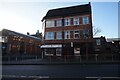
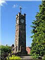
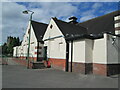
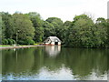
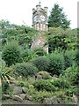
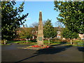
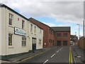
33 photos from this area
Area Information
Key information about the ST6 6DE including its size, population, and administrative classification.
- Area Type
- Postcode
- Area Size
- 3939 m²
- Population
- 1770
- Population Density
- 9185 people/km²
House Prices in ST6 6DE
36
Properties
£51,667
Average Sold Price
£5,000
Lowest Price
£90,000
Highest Price
Showing 36 properties
| Address | Type | Beds | Baths | Last Sale Price | Last Sale Date | |
|---|---|---|---|---|---|---|
| 117 Greengates Street, Tunstall, Stoke On Trent, ST6 6DE | house | - | - | £85,000 | Mar 2025 | |
| 95 Greengates Street, Tunstall, Stoke On Trent, ST6 6DE | house | - | - | £75,000 | Jul 2024 | |
| 109 Greengates Street, Tunstall, Stoke On Trent, ST6 6DE | house | - | - | £60,000 | Mar 2024 | |
| 107 Greengates Street, Tunstall, Stoke On Trent, ST6 6DE | Terraced | 2 | 1 | £75,000 | Jan 2024 | |
| 100 Greengates Street, Tunstall, Stoke On Trent, ST6 6DE | Terraced | 2 | 1 | £90,000 | Oct 2023 | |
| 105 Greengates Street, Tunstall, Stoke On Trent, ST6 6DE | Terraced | 2 | 1 | £63,000 | Aug 2022 | |
| 98 Greengates Street, Tunstall, Stoke On Trent, ST6 6DE | house | - | - | £63,000 | Mar 2022 | |
| 99 Greengates Street, Tunstall, Stoke On Trent, ST6 6DE | Terraced | 2 | 1 | £71,000 | Mar 2022 | |
| 94 Greengates Street, Tunstall, Stoke On Trent, ST6 6DE | Terraced | 2 | 1 | £52,500 | Feb 2019 | |
| 119 Greengates Street, Tunstall, Stoke On Trent, ST6 6DE | Terraced | 2 | 1 | £58,500 | Mar 2018 |
Page 1 of 4
Energy Efficiency in ST6 6DE
Amenities
Schools
| Rank | School | Type | Entry gender | Ages |
|---|
Explore more schools in this area
Go to Schools tabDemographics
Household Size
One person
most common
Accommodation Type
Houses
most common
Tenure
35
majority
Ethnic Group
White
most common
Religion
N/A
most common
Household Composition
N/A
most common
Age
22
median
Adults (30-64 years)
most common
Household Deprivation
N/A
with no deprivation
NS-SEC
12
in Lower managerial occupations
Explore more demographic insights in this area
Go to Demographics tabPlanning
Planning Constraints
- Flood RiskPremium
- Ramsar Wetland SitesPremium
- Area of Outstanding Natural BeautyPremium
- Protected Nature ReservePremium
- Protected WoodlandPremium