Area Overview for ST6 5SA
Photos of ST6 5SA

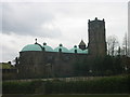
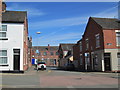
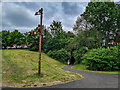

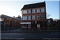
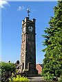
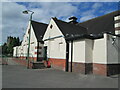
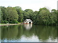
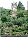
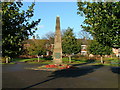
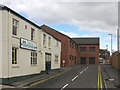
33 photos from this area
Area Information
Key information about the ST6 5SA including its size, population, and administrative classification.
- Area Type
- Postcode
- Area Size
- 1.2 hectares
- Population
- 2046
- Population Density
- 4810 people/km²
House Prices in ST6 5SA
45
Properties
£127,031
Average Sold Price
£88,000
Lowest Price
£198,750
Highest Price
Showing 45 properties
| Address | Type | Beds | Baths | Last Sale Price | Last Sale Date | |
|---|---|---|---|---|---|---|
| 10 Cricklewood Drive, Tunstall, Stoke On Trent, ST6 5SA | Terraced | 2 | 1 | £128,750 | Jun 2025 | |
| 40 Cricklewood Drive, Tunstall, Stoke On Trent, ST6 5SA | house | 3 | 1 | £153,500 | Mar 2025 | |
| 30 Cricklewood Drive, Tunstall, Stoke On Trent, ST6 5SA | Semi-detached | 3 | 1 | £185,000 | Apr 2024 | |
| 23 Cricklewood Drive, Tunstall, Stoke On Trent, ST6 5SA | Terraced | 2 | 1 | £124,500 | Feb 2024 | |
| 11 Cricklewood Drive, Tunstall, Stoke On Trent, ST6 5SA | Semi-detached | 3 | 2 | £198,750 | Jan 2024 | |
| 8 Cricklewood Drive, Tunstall, Stoke On Trent, ST6 5SA | Terraced | 2 | 2 | £133,000 | Jul 2023 | |
| 26 Cricklewood Drive, Tunstall, Stoke On Trent, ST6 5SA | house | 3 | 2 | £183,000 | Nov 2022 | |
| 5 Cricklewood Drive, Tunstall, Stoke On Trent, ST6 5SA | Semi-detached | 2 | 1 | £124,000 | Apr 2021 | |
| 29 Cricklewood Drive, Tunstall, Stoke On Trent, ST6 5SA | Detached | 3 | 2 | £150,000 | Feb 2021 | |
| 39 Cricklewood Drive, Tunstall, Stoke On Trent, ST6 5SA | Detached | 3 | 2 | £175,000 | Jun 2019 |
Page 1 of 5
Energy Efficiency in ST6 5SA
Amenities
Schools
| Rank | School | Type | Entry gender | Ages |
|---|
Explore more schools in this area
Go to Schools tabDemographics
Household Size
One person
most common
Accommodation Type
Houses
most common
Tenure
58
majority
Ethnic Group
White
most common
Religion
N/A
most common
Household Composition
N/A
most common
Age
47
median
Adults (30-64 years)
most common
Household Deprivation
N/A
with no deprivation
NS-SEC
16
in Lower managerial occupations
Explore more demographic insights in this area
Go to Demographics tabPlanning
Planning Constraints
- Flood RiskPremium
- Ramsar Wetland SitesPremium
- Area of Outstanding Natural BeautyPremium
- Protected Nature ReservePremium
- Protected WoodlandPremium