Area Overview for ST6 2NW
Photos of ST6 2NW

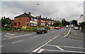

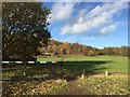
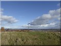
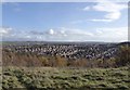
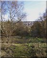
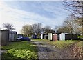
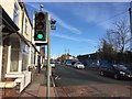
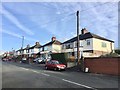
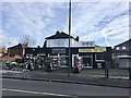

40 photos from this area
Area Information
Key information about the ST6 2NW including its size, population, and administrative classification.
- Area Type
- Postcode
- Area Size
- 1.0 hectares
- Population
- 1593
- Population Density
- 4435 people/km²
House Prices in ST6 2NW
20
Properties
£115,220
Average Sold Price
£53,950
Lowest Price
£210,000
Highest Price
Showing 20 properties
| Address | Type | Beds | Baths | Last Sale Price | Last Sale Date | |
|---|---|---|---|---|---|---|
| 374 Sneyd Street, Stoke On Trent, ST6 2NW | Semi-detached | 2 | 1 | £180,000 | Oct 2023 | |
| 364 Sneyd Street, Stoke On Trent, ST6 2NW | Retail | 3 | 1 | £210,000 | Dec 2022 | |
| 372 Sneyd Street, Stoke On Trent, ST6 2NW | Semi-detached | 2 | 1 | £130,000 | Aug 2021 | |
| 362 Sneyd Street, Stoke On Trent, ST6 2NW | Semi-detached | 2 | 1 | £137,000 | Jul 2019 | |
| 396 Sneyd Street, Stoke On Trent, ST6 2NW | Bungalow | 2 | 1 | £110,000 | Dec 2017 | |
| 368 Sneyd Street, Stoke On Trent, ST6 2NW | Semi-detached | 2 | - | £62,250 | Dec 2011 | |
| 366 Sneyd Street, Stoke On Trent, ST6 2NW | house | 2 | - | £100,000 | Apr 2011 | |
| 370 Sneyd Street, Stoke On Trent, ST6 2NW | Semi-detached | 2 | 1 | £82,500 | Oct 2010 | |
| 380 Sneyd Street, Stoke On Trent, ST6 2NW | Semi-detached | - | - | £86,500 | Jul 2004 | |
| 378 Sneyd Street, Stoke On Trent, ST6 2NW | house | - | - | £53,950 | Oct 2000 |
Page 1 of 2
Energy Efficiency in ST6 2NW
Amenities
Schools
| Rank | School | Type | Entry gender | Ages |
|---|
Explore more schools in this area
Go to Schools tabDemographics
Household Size
Family (3-5 people)
most common
Accommodation Type
Houses
most common
Tenure
73
majority
Ethnic Group
White
most common
Religion
N/A
most common
Household Composition
N/A
most common
Age
47
median
Adults (30-64 years)
most common
Household Deprivation
N/A
with no deprivation
NS-SEC
22
in Lower managerial occupations
Explore more demographic insights in this area
Go to Demographics tabPlanning
Planning Constraints
- Flood RiskPremium
- Ramsar Wetland SitesPremium
- Area of Outstanding Natural BeautyPremium
- Protected Nature ReservePremium
- Protected WoodlandPremium