Area Overview for ST15 8TY
Photos of ST15 8TY
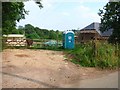
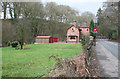
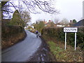
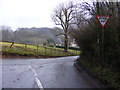
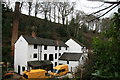
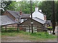
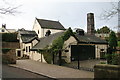
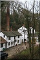
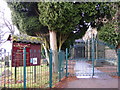
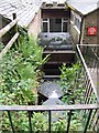
14 photos from this area
Area Information
Key information about the ST15 8TY including its size, population, and administrative classification.
- Area Type
- Postcode
- Area Size
- 3335 m²
- Population
- 1239
- Population Density
- 48 people/km²
House Prices in ST15 8TY
4
Properties
£224,750
Average Sold Price
£68,000
Lowest Price
£345,000
Highest Price
Showing 4 properties
| Address | Type | Beds | Baths | Last Sale Price | Last Sale Date | |
|---|---|---|---|---|---|---|
| Crantock, 1 Orchard Close, Oulton, Stafford, ST15 8TY | Bungalow | 2 | 1 | £345,000 | Jul 2022 | |
| The Lodge, 7 Orchard Close, Oulton, Stafford, ST15 8TY | Bungalow | 4 | 2 | £285,000 | Jun 2020 | |
| 3 Orchard Close, Oulton, Stafford, ST15 8TY | Detached | - | - | £201,000 | Mar 2013 | |
| Sandycroft, 5 Orchard Close, Oulton, Stafford, ST15 8TY | Detached | - | - | £68,000 | Nov 1995 |
Energy Efficiency in ST15 8TY
Amenities
Schools
| Rank | School | Type | Entry gender | Ages |
|---|
Explore more schools in this area
Go to Schools tabDemographics
Household Size
Two person
most common
Accommodation Type
Houses
most common
Tenure
80
majority
Ethnic Group
White
most common
Religion
N/A
most common
Household Composition
N/A
most common
Age
47
median
Adults (30-64 years)
most common
Household Deprivation
N/A
with no deprivation
NS-SEC
42
in Lower managerial occupations
Explore more demographic insights in this area
Go to Demographics tabPlanning
Planning Constraints
- Flood RiskPremium
- Ramsar Wetland SitesPremium
- Area of Outstanding Natural BeautyPremium
- Protected Nature ReservePremium
- Protected WoodlandPremium