Area Overview for ST15 8HZ
Photos of ST15 8HZ
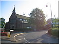
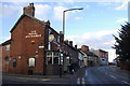
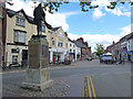
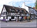
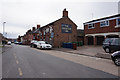
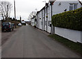
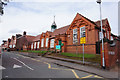
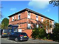
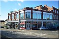
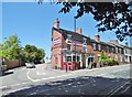
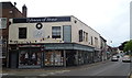
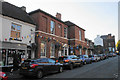
38 photos from this area
Area Information
Key information about the ST15 8HZ including its size, population, and administrative classification.
- Area Type
- Postcode
- Area Size
- 6898 m²
- Population
- 1486
- Population Density
- 1111 people/km²
House Prices in ST15 8HZ
28
Properties
£155,450
Average Sold Price
£55,000
Lowest Price
£226,000
Highest Price
Showing 28 properties
| Address | Type | Beds | Baths | Last Sale Price | Last Sale Date | |
|---|---|---|---|---|---|---|
| 20 Princes Street, Stone, ST15 8HZ | Semi-detached | 2 | 1 | £226,000 | Mar 2025 | |
| 12 Princes Street, Stone, ST15 8HZ | house | - | - | £199,000 | Apr 2022 | |
| 34 Princes Street, Stone, ST15 8HZ | house | - | - | £197,500 | Nov 2021 | |
| 28 Princes Street, Stone, ST15 8HZ | Semi-detached | 2 | 1 | £198,000 | Aug 2021 | |
| 50 Princes Street, Stone, ST15 8HZ | Semi-detached | 3 | 1 | £144,000 | Jun 2021 | |
| 30 Princes Street, Stone, ST15 8HZ | Terraced | 2 | 1 | £148,000 | Mar 2017 | |
| 6 Princes Street, Stone, ST15 8HZ | Terraced | 3 | 1 | £161,500 | Nov 2014 | |
| 38 Princes Street, Stone, ST15 8HZ | house | - | - | £98,000 | Oct 2009 | |
| 46 Princes Street, Stone, ST15 8HZ | Terraced | - | - | £127,500 | Jan 2007 | |
| 18 Princes Street, Stone, ST15 8HZ | Terraced | - | - | £55,000 | Mar 2004 |
Page 1 of 3
Energy Efficiency in ST15 8HZ
Amenities
Schools
| Rank | School | Type | Entry gender | Ages |
|---|
Explore more schools in this area
Go to Schools tabDemographics
Household Size
Two person
most common
Accommodation Type
Houses
most common
Tenure
68
majority
Ethnic Group
White
most common
Religion
N/A
most common
Household Composition
N/A
most common
Age
47
median
Adults (30-64 years)
most common
Household Deprivation
N/A
with no deprivation
NS-SEC
41
in Lower managerial occupations
Explore more demographic insights in this area
Go to Demographics tabPlanning
Planning Constraints
- Flood RiskPremium
- Ramsar Wetland SitesPremium
- Area of Outstanding Natural BeautyPremium
- Protected Nature ReservePremium
- Protected WoodlandPremium