Area Overview for ST15 8HY
Photos of ST15 8HY
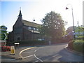
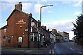
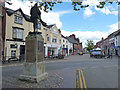
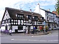
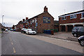
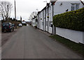
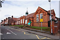
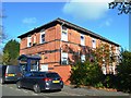
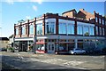
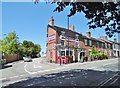
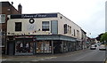
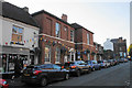
38 photos from this area
Area Information
Key information about the ST15 8HY including its size, population, and administrative classification.
- Area Type
- Postcode
- Area Size
- 2.2 hectares
- Population
- 1486
- Population Density
- 1111 people/km²
House Prices in ST15 8HY
44
Properties
£123,158
Average Sold Price
£39,500
Lowest Price
£215,000
Highest Price
Showing 44 properties
| Address | Type | Beds | Baths | Last Sale Price | Last Sale Date | |
|---|---|---|---|---|---|---|
| 35 Princes Street, Stone, ST15 8HY | Semi-detached | 2 | 1 | £215,000 | Feb 2025 | |
| 9 Princes Street, Stone, ST15 8HY | Terraced | 2 | 1 | £160,000 | Sep 2023 | |
| 75 Princes Street, Stone, ST15 8HY | Terraced | 2 | 1 | £175,000 | Sep 2020 | |
| 49 Princes Street, Stone, ST15 8HY | house | - | - | £165,000 | Apr 2020 | |
| 53 Princes Street, Stone, ST15 8HY | Terraced | 2 | 1 | £130,000 | Jul 2016 | |
| 47 Princes Street, Stone, ST15 8HY | Terraced | 2 | 1 | £115,000 | Feb 2013 | |
| 81 Princes Street, Stone, ST15 8HY | Terraced | - | - | £122,500 | Jun 2012 | |
| 29 Princes Street, Stone, ST15 8HY | Terraced | - | - | £107,000 | Sep 2009 | |
| 61 Princes Street, Stone, ST15 8HY | Terraced | 2 | 1 | £96,000 | Sep 2009 | |
| 27 Princes Street, Stone, ST15 8HY | Terraced | - | - | £124,950 | Jun 2008 |
Page 1 of 5
Energy Efficiency in ST15 8HY
Amenities
Schools
| Rank | School | Type | Entry gender | Ages |
|---|
Explore more schools in this area
Go to Schools tabDemographics
Household Size
Two person
most common
Accommodation Type
Houses
most common
Tenure
68
majority
Ethnic Group
White
most common
Religion
N/A
most common
Household Composition
N/A
most common
Age
47
median
Adults (30-64 years)
most common
Household Deprivation
N/A
with no deprivation
NS-SEC
41
in Lower managerial occupations
Explore more demographic insights in this area
Go to Demographics tabPlanning
Planning Constraints
- Flood RiskPremium
- Ramsar Wetland SitesPremium
- Area of Outstanding Natural BeautyPremium
- Protected Nature ReservePremium
- Protected WoodlandPremium