Area Overview for ST15 0PD
Photos of ST15 0PD
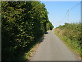
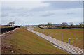
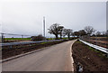
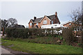
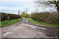
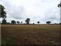
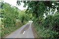
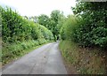

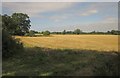

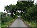
15 photos from this area
Area Information
Key information about the ST15 0PD including its size, population, and administrative classification.
- Area Type
- Postcode
- Area Size
- 14.4 hectares
- Population
- 2331
- Population Density
- 129 people/km²
House Prices in ST15 0PD
25
Properties
£122,714
Average Sold Price
£45,000
Lowest Price
£230,000
Highest Price
Showing 25 properties
| Address | Type | Beds | Baths | Last Sale Price | Last Sale Date | |
|---|---|---|---|---|---|---|
| 13 St Lukes Close, Norton Bridge, Stone, ST15 0PD | Retail | 3 | 1 | £230,000 | Nov 2022 | |
| 23 St Lukes Close, Norton Bridge, Stone, ST15 0PD | Retail | 3 | 1 | £175,000 | Apr 2022 | |
| 2 St Lukes Close, Norton Bridge, Stone, ST15 0PD | house | - | - | £170,000 | Aug 2021 | |
| 25 St Lukes Close, Norton Bridge, Stone, ST15 0PD | Semi-detached | 3 | 1 | £98,000 | Dec 2014 | |
| 8 St Lukes Close, Norton Bridge, Stone, ST15 0PD | house | - | - | £120,000 | Jul 2008 | |
| 12 St Lukes Close, Norton Bridge, Stone, ST15 0PD | Terraced | - | - | £124,950 | Feb 2007 | |
| 11 St Lukes Close, Norton Bridge, Stone, ST15 0PD | Terraced | - | - | £119,950 | Jan 2007 | |
| 19 St Lukes Close, Norton Bridge, Stone, ST15 0PD | house | - | - | £114,950 | Aug 2005 | |
| 9 St Lukes Close, Norton Bridge, Stone, ST15 0PD | Terraced | 3 | 1 | £97,000 | Dec 2003 | |
| 21 St Lukes Close, Norton Bridge, Stone, ST15 0PD | Terraced | - | - | £55,000 | Jul 2001 |
Page 1 of 3
Energy Efficiency in ST15 0PD
Amenities
Schools
| Rank | School | Type | Entry gender | Ages |
|---|
Explore more schools in this area
Go to Schools tabDemographics
Household Size
Two person
most common
Accommodation Type
Houses
most common
Tenure
71
majority
Ethnic Group
White
most common
Religion
N/A
most common
Household Composition
N/A
most common
Age
47
median
Adults (30-64 years)
most common
Household Deprivation
N/A
with no deprivation
NS-SEC
43
in Lower managerial occupations
Explore more demographic insights in this area
Go to Demographics tabPlanning
Planning Constraints
- Flood RiskPremium
- Ramsar Wetland SitesPremium
- Area of Outstanding Natural BeautyPremium
- Protected Nature ReservePremium
- Protected WoodlandPremium