Area Overview for ST15 0ED
Photos of ST15 0ED
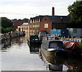
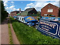
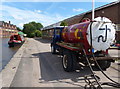
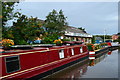
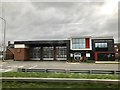
51 photos from this area
Area Information
Key information about the ST15 0ED including its size, population, and administrative classification.
- Area Type
- Postcode
- Area Size
- 1.0 hectares
- Population
- 1930
- Population Density
- 2389 people/km²
House Prices in ST15 0ED
25
Properties
£104,670
Average Sold Price
£35,000
Lowest Price
£190,000
Highest Price
Showing 25 properties
| Address | Type | Beds | Baths | Last Sale Price | Last Sale Date | |
|---|---|---|---|---|---|---|
| 44 St Vincent Road, Stone, ST15 0ED | Terraced | 4 | 1 | £189,950 | Jan 2022 | |
| 2 St Vincent Road, Stone, ST15 0ED | Terraced | 3 | 1 | £190,000 | Oct 2021 | |
| 4 St Vincent Road, Stone, ST15 0ED | Terraced | 4 | 1 | £148,000 | Aug 2019 | |
| 8 St Vincent Road, Stone, ST15 0ED | Terraced | 4 | 1 | £108,000 | Oct 2015 | |
| 48 St Vincent Road, Stone, ST15 0ED | Terraced | - | - | £120,000 | Aug 2014 | |
| 47 St Vincent Road, Stone, ST15 0ED | Terraced | - | - | £107,105 | Sep 2013 | |
| 11 St Vincent Road, Stone, ST15 0ED | house | - | - | £85,000 | Jul 2012 | |
| 39 St Vincent Road, Stone, ST15 0ED | house | - | - | £127,500 | Oct 2009 | |
| 41 St Vincent Road, Stone, ST15 0ED | Terraced | - | - | £125,000 | Feb 2008 | |
| 45 St Vincent Road, Stone, ST15 0ED | Terraced | - | - | £136,000 | Jan 2008 |
Page 1 of 3
Energy Efficiency in ST15 0ED
Amenities
Schools
| Rank | School | Type | Entry gender | Ages |
|---|
Explore more schools in this area
Go to Schools tabDemographics
Household Size
One person
most common
Accommodation Type
Houses
most common
Tenure
66
majority
Ethnic Group
White
most common
Religion
N/A
most common
Household Composition
N/A
most common
Age
47
median
Adults (30-64 years)
most common
Household Deprivation
N/A
with no deprivation
NS-SEC
31
in Lower managerial occupations
Explore more demographic insights in this area
Go to Demographics tabPlanning
Planning Constraints
- Flood RiskPremium
- Ramsar Wetland SitesPremium
- Area of Outstanding Natural BeautyPremium
- Protected Nature ReservePremium
- Protected WoodlandPremium