Area Overview for ST13 8BD
Photos of ST13 8BD
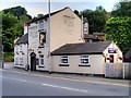
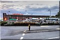
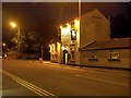
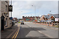
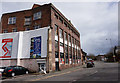
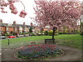
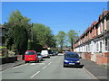
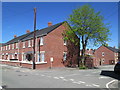
100 photos from this area
Area Information
Key information about the ST13 8BD including its size, population, and administrative classification.
- Area Type
- Postcode
- Area Size
- 6961 m²
- Population
- 1511
- Population Density
- 3989 people/km²
House Prices in ST13 8BD
27
Properties
£162,891
Average Sold Price
£85,000
Lowest Price
£380,000
Highest Price
Showing 27 properties
| Address | Type | Beds | Baths | Last Sale Price | Last Sale Date | |
|---|---|---|---|---|---|---|
| 8 West End Avenue, Leek, ST13 8BD | Terraced | 5 | 2 | £380,000 | Apr 2024 | |
| 22 West End Avenue, Leek, ST13 8BD | Semi-detached | 3 | 1 | £177,000 | Mar 2019 | |
| 2 West End Avenue, Leek, ST13 8BD | Semi-detached | 3 | 1 | £175,000 | Mar 2019 | |
| 5 West End Avenue, Leek, ST13 8BD | Semi-detached | 3 | 1 | £167,500 | Dec 2017 | |
| 1 West End Avenue, Leek, ST13 8BD | Semi-detached | 3 | 1 | £143,000 | Oct 2014 | |
| 4 West End Avenue, Leek, ST13 8BD | house | 3 | - | £145,300 | Apr 2014 | |
| 24 West End Avenue, Leek, ST13 8BD | house | - | - | £98,000 | Jan 2014 | |
| 34 West End Avenue, Leek, ST13 8BD | house | 3 | 1 | £85,000 | Jul 2013 | |
| 16 West End Avenue, Leek, ST13 8BD | house | - | - | £176,000 | Oct 2012 | |
| 32 West End Avenue, Leek, ST13 8BD | house | - | - | £125,000 | Jan 2010 |
Page 1 of 3
Energy Efficiency in ST13 8BD
Amenities
Schools
| Rank | School | Type | Entry gender | Ages |
|---|
Explore more schools in this area
Go to Schools tabDemographics
Household Size
Family (3-5 people)
most common
Accommodation Type
Houses
most common
Tenure
68
majority
Ethnic Group
White
most common
Religion
N/A
most common
Household Composition
N/A
most common
Age
47
median
Adults (30-64 years)
most common
Household Deprivation
N/A
with no deprivation
NS-SEC
26
in Lower managerial occupations
Explore more demographic insights in this area
Go to Demographics tabPlanning
Planning Constraints
- Flood RiskPremium
- Ramsar Wetland SitesPremium
- Area of Outstanding Natural BeautyPremium
- Protected Nature ReservePremium
- Protected WoodlandPremium