Area Overview for ST10 2PQ
Photos of ST10 2PQ
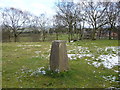
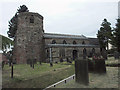
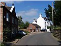
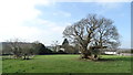
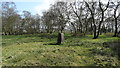
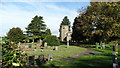
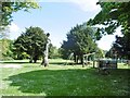
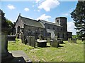
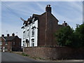
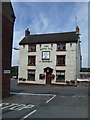
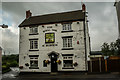
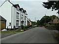
19 photos from this area
Area Information
Key information about the ST10 2PQ including its size, population, and administrative classification.
- Area Type
- Postcode
- Area Size
- 44.3 hectares
- Population
- 1776
- Population Density
- 77 people/km²
House Prices in ST10 2PQ
28
Properties
£355,214
Average Sold Price
£91,000
Lowest Price
£675,000
Highest Price
Showing 28 properties
| Address | Type | Beds | Baths | Last Sale Price | Last Sale Date | |
|---|---|---|---|---|---|---|
| Churchfields, New Road, Dilhorne, ST10 2PQ | Bungalow | 3 | 1 | £520,000 | Sep 2025 | |
| The Beeches, New Road, Dilhorne, ST10 2PQ | house | - | - | £386,500 | Aug 2021 | |
| The Old Vicarage, New Road, Dilhorne, ST10 2PQ | house | - | - | £675,000 | Dec 2020 | |
| Beech Lodge, New Road, Dilhorne, ST10 2PQ | Semi-detached | 3 | 2 | £272,500 | Nov 2019 | |
| Ivy Cottage, New Road, Dilhorne, ST10 2PQ | Semi-detached | 2 | 1 | £219,000 | Jul 2018 | |
| 4, Church View, New Road, Dilhorne, ST10 2PQ | house | - | - | £91,000 | Aug 2011 | |
| The Old Church House, New Road, Dilhorne, ST10 2PQ | house | - | - | £322,500 | Oct 2010 | |
| Hillside, New Road, Dilhorne, ST10 2PQ | Detached | 2 | 1 | - | - | |
| Clematis Cottage, New Road, Dilhorne, ST10 2PQ | house | 2 | - | - | - | |
| Hall Farm Bungalow, New Road, Dilhorne, ST10 2PQ | Detached | 3 | - | - | - |
Page 1 of 3
Energy Efficiency in ST10 2PQ
Amenities
Schools
| Rank | School | Type | Entry gender | Ages |
|---|
Explore more schools in this area
Go to Schools tabDemographics
Household Size
Two person
most common
Accommodation Type
Houses
most common
Tenure
84
majority
Ethnic Group
White
most common
Religion
N/A
most common
Household Composition
N/A
most common
Age
47
median
Adults (30-64 years)
most common
Household Deprivation
N/A
with no deprivation
NS-SEC
30
in Lower managerial occupations
Explore more demographic insights in this area
Go to Demographics tabPlanning
Planning Constraints
- Flood RiskPremium
- Ramsar Wetland SitesPremium
- Area of Outstanding Natural BeautyPremium
- Protected Nature ReservePremium
- Protected WoodlandPremium