Area Overview for ST10 2LF
Photos of ST10 2LF
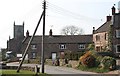
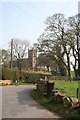
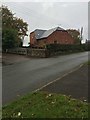
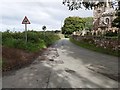
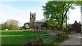
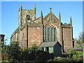
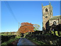
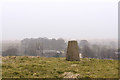
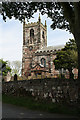
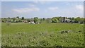
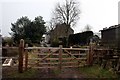
19 photos from this area
Area Information
Key information about the ST10 2LF including its size, population, and administrative classification.
- Area Type
- Postcode
- Area Size
- 21.9 hectares
- Population
- 1751
- Population Density
- 46 people/km²
House Prices in ST10 2LF
24
Properties
£175,405
Average Sold Price
£30,000
Lowest Price
£625,000
Highest Price
Showing 24 properties
| Address | Type | Beds | Baths | Last Sale Price | Last Sale Date | |
|---|---|---|---|---|---|---|
| Churchside Barn, Church Lane, Ipstones, ST10 2LF | Detached | - | - | £300,000 | Sep 2022 | |
| Churchfields Farm, Church Lane, Ipstones, ST10 2LF | Detached | - | - | £262,500 | Jun 2021 | |
| 38 Church Lane, Ipstones, ST10 2LF | Terraced | 1 | 1 | £123,000 | Aug 2018 | |
| The Mount, Church Lane, Ipstones, ST10 2LF | house | 5 | - | £625,000 | Aug 2017 | |
| 60 Church Lane, Ipstones, ST10 2LF | house | - | - | £157,500 | Jan 2017 | |
| 44 Church Lane, Ipstones, ST10 2LF | Terraced | 2 | 1 | £124,000 | Jul 2007 | |
| 40 Church Lane, Ipstones, ST10 2LF | Terraced | 2 | 1 | £116,500 | Jul 2006 | |
| Primrose Cottage, 48 Church Lane, Ipstones, ST10 2LF | Terraced | - | - | £94,000 | Nov 2003 | |
| Church Cottage, 62 Church Lane, Ipstones, ST10 2LF | Semi-detached | - | - | £54,950 | Aug 2001 | |
| 36 Church Lane, Ipstones, ST10 2LF | Terraced | - | - | £30,000 | Apr 1999 |
Page 1 of 3
Energy Efficiency in ST10 2LF
Amenities
Schools
| Rank | School | Type | Entry gender | Ages |
|---|
Explore more schools in this area
Go to Schools tabDemographics
Household Size
Two person
most common
Accommodation Type
Houses
most common
Tenure
87
majority
Ethnic Group
White
most common
Religion
N/A
most common
Household Composition
N/A
most common
Age
47
median
Adults (30-64 years)
most common
Household Deprivation
N/A
with no deprivation
NS-SEC
33
in Lower managerial occupations
Explore more demographic insights in this area
Go to Demographics tabPlanning
Planning Constraints
- Flood RiskPremium
- Ramsar Wetland SitesPremium
- Area of Outstanding Natural BeautyPremium
- Protected Nature ReservePremium
- Protected WoodlandPremium