Area Overview for ST10 2LB
Photos of ST10 2LB
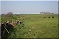
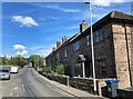
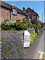
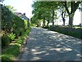
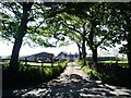
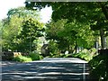
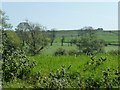
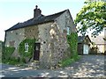
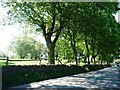
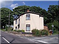
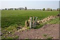
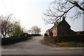
14 photos from this area
Area Information
Key information about the ST10 2LB including its size, population, and administrative classification.
- Area Type
- Postcode
- Area Size
- 5.1 hectares
- Population
- 1751
- Population Density
- 46 people/km²
House Prices in ST10 2LB
8
Properties
£272,000
Average Sold Price
£75,000
Lowest Price
£757,500
Highest Price
Showing 8 properties
| Address | Type | Beds | Baths | Last Sale Price | Last Sale Date | |
|---|---|---|---|---|---|---|
| Mole End, 97 High Street, Ipstones, ST10 2LB | Detached | 4 | 3 | £757,500 | Sep 2025 | |
| Manor View, 85 High Street, Ipstones, ST10 2LB | Bungalow | - | - | £200,000 | Mar 2014 | |
| Freshfields, 83 High Street, Ipstones, ST10 2LB | Bungalow | 3 | - | £222,500 | Dec 2011 | |
| Waterloo Cottage, 95 High Street, Ipstones, ST10 2LB | Detached | - | - | £105,000 | Mar 1999 | |
| Lyndale, 91 High Street, Ipstones, ST10 2LB | Detached | - | - | £75,000 | Jul 1997 | |
| Rowan Croft, 81 High Street, Ipstones, ST10 2LB | Detached | - | - | - | - | |
| Elygill, 89 High Street, Ipstones, ST10 2LB | Detached | - | - | - | - | |
| Chamonix, 87 High Street, Ipstones, ST10 2LB | Detached | - | - | - | - |
Energy Efficiency in ST10 2LB
Amenities
Schools
| Rank | School | Type | Entry gender | Ages |
|---|
Explore more schools in this area
Go to Schools tabDemographics
Household Size
Two person
most common
Accommodation Type
Houses
most common
Tenure
87
majority
Ethnic Group
White
most common
Religion
N/A
most common
Household Composition
N/A
most common
Age
47
median
Adults (30-64 years)
most common
Household Deprivation
N/A
with no deprivation
NS-SEC
33
in Lower managerial occupations
Explore more demographic insights in this area
Go to Demographics tabPlanning
Planning Constraints
- Flood RiskPremium
- Ramsar Wetland SitesPremium
- Area of Outstanding Natural BeautyPremium
- Protected Nature ReservePremium
- Protected WoodlandPremium