Area Overview for ST10 2AF
Photos of ST10 2AF
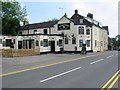
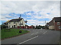
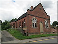
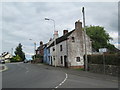
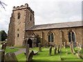
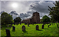
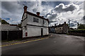
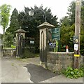
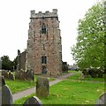
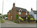
25 photos from this area
Area Information
Key information about the ST10 2AF including its size, population, and administrative classification.
- Area Type
- Postcode
- Area Size
- 3.1 hectares
- Population
- 1499
- Population Density
- 169 people/km²
House Prices in ST10 2AF
22
Properties
£141,900
Average Sold Price
£28,500
Lowest Price
£347,250
Highest Price
Showing 22 properties
| Address | Type | Beds | Baths | Last Sale Price | Last Sale Date | |
|---|---|---|---|---|---|---|
| 71 High Street, Kingsley, ST10 2AF | Semi-detached | 2 | 1 | £145,000 | Dec 2025 | |
| 51 High Street, Kingsley, ST10 2AF | Terraced | 3 | 1 | £262,500 | May 2025 | |
| 69 High Street, Kingsley, ST10 2AF | house | - | - | £155,000 | Nov 2018 | |
| 59 High Street, Kingsley, ST10 2AF | Cottage | 2 | 1 | £79,950 | Oct 2016 | |
| Kingsway House, High Street, Kingsley, ST10 2AF | house | - | - | £347,250 | Jul 2007 | |
| 61 High Street, Kingsley, ST10 2AF | house | - | - | £84,500 | Oct 2003 | |
| 63 High Street, Kingsley, ST10 2AF | Terraced | 2 | - | £32,500 | Apr 2002 | |
| 53 High Street, Kingsley, ST10 2AF | Semi-detached | 5 | 3 | £28,500 | Oct 1999 | |
| 27 High Street, Kingsley, ST10 2AF | Semi-detached | 3 | 2 | - | - | |
| 47 High Street, Kingsley, ST10 2AF | Retail | 4 | 3 | - | - |
Page 1 of 3
Energy Efficiency in ST10 2AF
Amenities
Schools
| Rank | School | Type | Entry gender | Ages |
|---|
Explore more schools in this area
Go to Schools tabDemographics
Household Size
Two person
most common
Accommodation Type
Houses
most common
Tenure
80
majority
Ethnic Group
White
most common
Religion
N/A
most common
Household Composition
N/A
most common
Age
47
median
Adults (30-64 years)
most common
Household Deprivation
N/A
with no deprivation
NS-SEC
27
in Lower managerial occupations
Explore more demographic insights in this area
Go to Demographics tabPlanning
Planning Constraints
- Flood RiskPremium
- Ramsar Wetland SitesPremium
- Area of Outstanding Natural BeautyPremium
- Protected Nature ReservePremium
- Protected WoodlandPremium