Area Overview for HR9 6LF
Photos of HR9 6LF
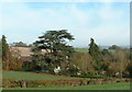
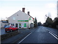
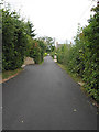

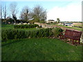
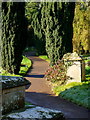
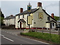
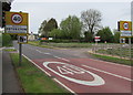
100 photos from this area
Area Information
Key information about the HR9 6LF including its size, population, and administrative classification.
- Area Type
- Postcode
- Area Size
- 3.6 hectares
- Population
- 1553
- Population Density
- 70 people/km²
House Prices in HR9 6LF
17
Properties
£329,515
Average Sold Price
£121,500
Lowest Price
£695,000
Highest Price
Showing 17 properties
| Address | Type | Beds | Baths | Last Sale Price | Last Sale Date | |
|---|---|---|---|---|---|---|
| Stowe House, Lowcop Lane, Peterstow, HR9 6LF | Detached | 4 | 2 | £463,000 | Nov 2022 | |
| Partridge Cottage, Lowcop Lane, Peterstow, HR9 6LF | house | 3 | 2 | £415,678 | Aug 2022 | |
| Mountbatten House, Lowcop Lane, Peterstow, HR9 6LF | Semi-detached | 4 | 1 | £695,000 | Apr 2021 | |
| High Town Bungalow, High Town, Peterstow, HR9 6LF | Bungalow | 3 | 3 | £315,000 | Dec 2019 | |
| Highfield, High Town, Peterstow, HR9 6LF | Bungalow | - | - | £280,000 | Nov 2015 | |
| Rod Andal, High Town, Peterstow, HR9 6LF | Bungalow | - | - | £224,000 | Nov 2014 | |
| Oldfield, Lowcop Lane, Peterstow, HR9 6LF | Detached | 3 | - | £385,000 | Jul 2013 | |
| Lane End, High Town, Peterstow, HR9 6LF | Semi-detached | 3 | 1 | £240,000 | May 2012 | |
| Old School, Lowcop Lane, Peterstow, HR9 6LF | Detached | 3 | 1 | £310,000 | Oct 2011 | |
| Stonecrop, High Town, Peterstow, HR9 6LF | Cottage | 3 | 2 | £215,000 | Jun 2009 |
Page 1 of 2
Energy Efficiency in HR9 6LF
Amenities
Schools
| Rank | School | Type | Entry gender | Ages |
|---|
Explore more schools in this area
Go to Schools tabDemographics
Household Size
Two person
most common
Accommodation Type
Houses
most common
Tenure
78
majority
Ethnic Group
White
most common
Religion
N/A
most common
Household Composition
N/A
most common
Age
47
median
Adults (30-64 years)
most common
Household Deprivation
N/A
with no deprivation
NS-SEC
39
in Lower managerial occupations
Explore more demographic insights in this area
Go to Demographics tabPlanning
Planning Constraints
- Flood RiskPremium
- Ramsar Wetland SitesPremium
- Protected Nature ReservePremium
- Protected WoodlandPremium