Area Overview for HR7 4RQ
Photos of HR7 4RQ
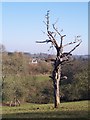
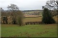
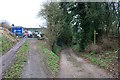
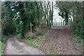
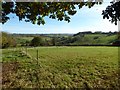
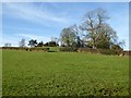

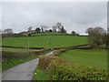
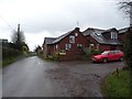
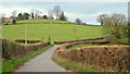
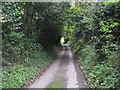
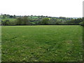
20 photos from this area
Area Information
Key information about the HR7 4RQ including its size, population, and administrative classification.
- Area Type
- Postcode
- Area Size
- 18.5 hectares
- Population
- 1437
- Population Density
- 29 people/km²
House Prices in HR7 4RQ
17
Properties
£332,900
Average Sold Price
£211,000
Lowest Price
£480,000
Highest Price
Showing 17 properties
| Address | Type | Beds | Baths | Last Sale Price | Last Sale Date | |
|---|---|---|---|---|---|---|
| Foxwhelp Cottage, Applefields, Little Cowarne, HR7 4RQ | Detached | 3 | 2 | £480,000 | Mar 2025 | |
| Three Elms, C 1117 Gasbage To Hilltop, Little Cowarne, HR7 4RQ | Detached | 4 | 2 | £343,499 | Aug 2020 | |
| Vilberie Cottage, Applefields, Little Cowarne, HR7 4RQ | house | - | - | £211,000 | Feb 2011 | |
| Yarlington House, Applefields, Little Cowarne, HR7 4RQ | house | - | - | £280,000 | Aug 2009 | |
| Cherry Orchard, C 1117 Gasbage To Hilltop, Little Cowarne, HR7 4RQ | Detached | - | - | £350,000 | Jan 2008 | |
| Sallies, C 1117 Gasbage To Hilltop, Little Cowarne, HR7 4RQ | Detached | 4 | 3 | - | - | |
| Plot 1 Land At Three Horseshoes Proposed New 1STOREY Dwelling In Paddock, C 1117 Gasbage To Hilltop, Little Cowarne, HR7 4RQ | Detached | - | - | - | - | |
| Caravan At Cherry Orchard, C 1117 Gasbage To Hilltop, Little Cowarne, HR7 4RQ | Mobile Home | - | - | - | - | |
| 2, Tavern Acre, C 1117 Gasbage To Hilltop, Little Cowarne, HR7 4RQ | Semi-detached | - | - | - | - | |
| 1, Tavern Acre, C 1117 Gasbage To Hilltop, Little Cowarne, HR7 4RQ | Semi-detached | - | - | - | - |
Page 1 of 2
Energy Efficiency in HR7 4RQ
Amenities
Schools
| Rank | School | Type | Entry gender | Ages |
|---|
Explore more schools in this area
Go to Schools tabDemographics
Household Size
Two person
most common
Accommodation Type
Houses
most common
Tenure
76
majority
Ethnic Group
White
most common
Religion
N/A
most common
Household Composition
N/A
most common
Age
47
median
Adults (30-64 years)
most common
Household Deprivation
N/A
with no deprivation
NS-SEC
33
in Lower managerial occupations
Explore more demographic insights in this area
Go to Demographics tabPlanning
Planning Constraints
- Flood RiskPremium
- Ramsar Wetland SitesPremium
- Area of Outstanding Natural BeautyPremium
- Protected Nature ReservePremium
- Protected WoodlandPremium