Area Overview for HR7 4LW
Photos of HR7 4LW
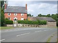
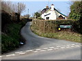
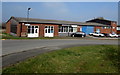
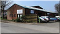
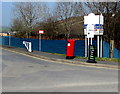
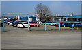
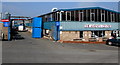
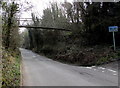
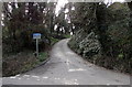
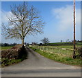
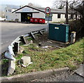
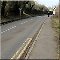
40 photos from this area
Area Information
Key information about the HR7 4LW including its size, population, and administrative classification.
- Area Type
- Postcode
- Area Size
- 16.5 hectares
- Population
- 1590
- Population Density
- 133 people/km²
House Prices in HR7 4LW
11
Properties
£222,000
Average Sold Price
£124,000
Lowest Price
£320,000
Highest Price
Showing 11 properties
| Address | Type | Beds | Baths | Last Sale Price | Last Sale Date | |
|---|---|---|---|---|---|---|
| The Stables, Tenbury Road, Bromyard, HR7 4LW | Terraced | 3 | 2 | £124,000 | Mar 2023 | |
| The Lilacs, B 4214 From Tenbury Road To River Frome, Bromyard, HR7 4LW | Bungalow | - | - | £320,000 | May 2019 | |
| Instone House, B 4214 From Tenbury Road To River Frome, Bromyard, HR7 4LW | Land | - | - | - | - | |
| The Coach House, Tenbury Road, Bromyard, HR7 4LW | Semi-detached | 3 | 2 | - | - | |
| Burley Court Investments Ltd, Office One, Erlam Place, Tenbury Road, Bromyard, HR7 4LW | Office | - | - | - | - | |
| 1, White Horse Mews, Tenbury Road, Bromyard, HR7 4LW | Terraced | - | - | - | - | |
| 3, White Horse Mews, Tenbury Road, Bromyard, HR7 4LW | Terraced | - | - | - | - | |
| Wild Cow Dairy (wicton Farm), Milk Vending Machine Shed, Erlam Place, Tenbury Road, Bromyard, HR7 4LW | Retail | - | - | - | - | |
| The Forge, B 4214 From Tenbury Road To River Frome, Bromyard, HR7 4LW | house | - | - | - | - | |
| Brfc, Bromyard Rugby Club, B 4214 From Tenbury Road To River Frome, Bromyard, HR7 4LW | Leisure | - | - | - | - |
Page 1 of 2
Energy Efficiency in HR7 4LW
Amenities
Schools
| Rank | School | Type | Entry gender | Ages |
|---|
Explore more schools in this area
Go to Schools tabDemographics
Household Size
Two person
most common
Accommodation Type
Houses
most common
Tenure
65
majority
Ethnic Group
White
most common
Religion
N/A
most common
Household Composition
N/A
most common
Age
47
median
Adults (30-64 years)
most common
Household Deprivation
N/A
with no deprivation
NS-SEC
23
in Lower managerial occupations
Explore more demographic insights in this area
Go to Demographics tabPlanning
Planning Constraints
- Flood RiskPremium
- Ramsar Wetland SitesPremium
- Area of Outstanding Natural BeautyPremium
- Protected Nature ReservePremium
- Protected WoodlandPremium