Area Overview for HR6 9UQ
Photos of HR6 9UQ
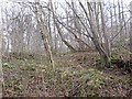
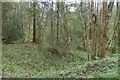
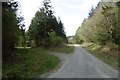
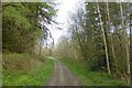

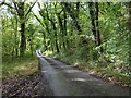
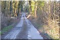
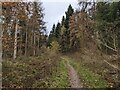
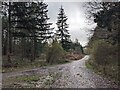
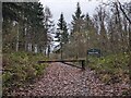
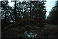
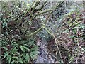
12 photos from this area
Area Information
Key information about the HR6 9UQ including its size, population, and administrative classification.
- Area Type
- Postcode
- Area Size
- 1.8 km²
- Population
- 1835
- Population Density
- 43 people/km²
House Prices in HR6 9UQ
12
Properties
£322,750
Average Sold Price
£165,000
Lowest Price
£470,000
Highest Price
Showing 12 properties
| Address | Type | Beds | Baths | Last Sale Price | Last Sale Date | |
|---|---|---|---|---|---|---|
| Park View, C 1009 From A 4110 To Ongar Street, Wigmore, HR6 9UQ | Bungalow | 2 | 1 | £340,000 | Mar 2023 | |
| Crookmullen Cottage, Crookmullin Road, Wigmore, HR6 9UQ | house | - | - | £316,000 | Jun 2021 | |
| Sunnybank Farm, Hill Road From C 1009 To Barnet Lane, Lingen Deerfold, HR6 9UQ | Detached | - | - | £470,000 | Jun 2008 | |
| Little Orchard, C 1009 From A 4110 To Ongar Street, Wigmore, HR6 9UQ | Detached | - | - | £165,000 | Dec 2005 | |
| The Old Holt, C 1009 From A 4110 To Ongar Street, Wigmore, HR6 9UQ | Detached | 3 | - | - | - | |
| Sunnybank Farm, Hill Road From C 1009 To Barnet Lane, Lingen Deerfold, HR6 9UQ | undefined | - | - | - | - | |
| Chapel Farm, Crookmullin Road, Wigmore, HR6 9UQ | Detached | - | - | - | - | |
| Dicken Dale, C 1009 From A 4110 To Ongar Street, Wigmore, HR6 9UQ | Detached | 3 | - | - | - | |
| Chapel Cottage, Crookmullin Road, Wigmore, HR6 9UQ | Detached | - | - | - | - | |
| Rose Farm, Crookmullin Road, Wigmore, HR6 9UQ | Detached | - | - | - | - |
Page 1 of 2
Energy Efficiency in HR6 9UQ
Amenities
Schools
| Rank | School | Type | Entry gender | Ages |
|---|
Explore more schools in this area
Go to Schools tabDemographics
Household Size
Two person
most common
Accommodation Type
Houses
most common
Tenure
68
majority
Ethnic Group
White
most common
Religion
N/A
most common
Household Composition
N/A
most common
Age
47
median
Adults (30-64 years)
most common
Household Deprivation
N/A
with no deprivation
NS-SEC
33
in Lower managerial occupations
Explore more demographic insights in this area
Go to Demographics tabPlanning
Planning Constraints
- Flood RiskPremium
- Ramsar Wetland SitesPremium
- Area of Outstanding Natural BeautyPremium
- Protected Nature ReservePremium
- Protected WoodlandPremium