Area Overview for HR6 0BQ
Photos of HR6 0BQ
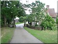
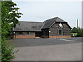
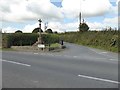
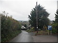
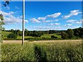
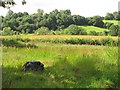
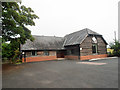
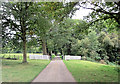
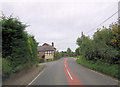
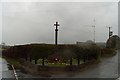
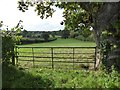
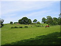
13 photos from this area
Area Information
Key information about the HR6 0BQ including its size, population, and administrative classification.
- Area Type
- Postcode
- Area Size
- 6.4 hectares
- Population
- 1417
- Population Density
- 52 people/km²
House Prices in HR6 0BQ
19
Properties
£280,500
Average Sold Price
£100,000
Lowest Price
£385,000
Highest Price
Showing 19 properties
| Address | Type | Beds | Baths | Last Sale Price | Last Sale Date | |
|---|---|---|---|---|---|---|
| 14 Green Lane Crescent, Yarpole, HR6 0BQ | Bungalow | 3 | 2 | £320,000 | Apr 2025 | |
| Gildencroft, 22 Green Lane Crescent, Yarpole, HR6 0BQ | Bungalow | - | - | £355,000 | Jul 2023 | |
| 2 Green Lane Crescent, Yarpole, HR6 0BQ | Bungalow | - | - | £355,000 | Feb 2023 | |
| 7 Green Lane Crescent, Yarpole, HR6 0BQ | Bungalow | 3 | 2 | £385,000 | Jan 2023 | |
| Horizons, 3 Green Lane Crescent, Yarpole, HR6 0BQ | Retail | 2 | 1 | £323,000 | May 2022 | |
| 6 Green Lane Crescent, Yarpole, HR6 0BQ | Bungalow | 3 | 1 | £325,000 | May 2022 | |
| 10 Green Lane Crescent, Yarpole, HR6 0BQ | Detached | 3 | 2 | £300,000 | Jan 2021 | |
| 11 Green Lane Crescent, Yarpole, HR6 0BQ | Bungalow | 3 | - | £335,000 | Nov 2018 | |
| 18 Green Lane Crescent, Yarpole, HR6 0BQ | Bungalow | - | - | £285,000 | Sep 2018 | |
| Rosies, 20 Green Lane Crescent, Yarpole, HR6 0BQ | Bungalow | 4 | - | £220,000 | Dec 2011 |
Page 1 of 2
Energy Efficiency in HR6 0BQ
Amenities
Schools
| Rank | School | Type | Entry gender | Ages |
|---|
Explore more schools in this area
Go to Schools tabDemographics
Household Size
Two person
most common
Accommodation Type
Houses
most common
Tenure
84
majority
Ethnic Group
White
most common
Religion
N/A
most common
Household Composition
N/A
most common
Age
47
median
Adults (30-64 years)
most common
Household Deprivation
N/A
with no deprivation
NS-SEC
39
in Lower managerial occupations
Explore more demographic insights in this area
Go to Demographics tabPlanning
Planning Constraints
- Flood RiskPremium
- Ramsar Wetland SitesPremium
- Area of Outstanding Natural BeautyPremium
- Protected Nature ReservePremium
- Protected WoodlandPremium