Area Overview for HR6 0BB
Photos of HR6 0BB
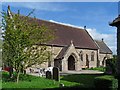
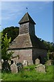
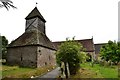
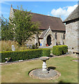
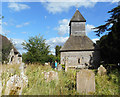
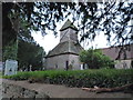
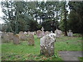
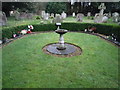
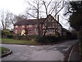
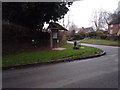
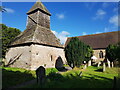
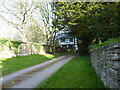
47 photos from this area
Area Information
Key information about the HR6 0BB including its size, population, and administrative classification.
- Area Type
- Postcode
- Area Size
- 15.4 hectares
- Population
- 1417
- Population Density
- 52 people/km²
House Prices in HR6 0BB
26
Properties
£420,389
Average Sold Price
£197,500
Lowest Price
£640,000
Highest Price
Showing 26 properties
| Address | Type | Beds | Baths | Last Sale Price | Last Sale Date | |
|---|---|---|---|---|---|---|
| Dukes Orchard, Brook Lane, Yarpole, HR6 0BB | Detached | 4 | 1 | £528,000 | Dec 2024 | |
| Church Cottage, Green Lane, Yarpole, HR6 0BB | Detached | 3 | 2 | £290,000 | May 2019 | |
| Brookhouse Farm, Brook Lane, Yarpole, HR6 0BB | house | - | - | £591,500 | Aug 2018 | |
| Long Fridays, Brook Lane, Yarpole, HR6 0BB | house | - | - | £551,500 | Oct 2015 | |
| Virginia Cottage, Green Lane, Yarpole, HR6 0BB | Cottage | 3 | - | £345,000 | Oct 2015 | |
| Oldfield House, Brook Lane, Yarpole, HR6 0BB | house | - | - | £400,000 | Oct 2013 | |
| South View, C 1039 From B 4362 Via Yarpole To C 1043, Yarpole, HR6 0BB | house | 2 | - | £197,500 | Oct 2011 | |
| Vicarage Farm, Green Lane, Yarpole, HR6 0BB | Detached | - | - | £640,000 | Nov 2006 | |
| West End Cottage, C 1039 From B 4362 Via Yarpole To C 1043, Yarpole, HR6 0BB | house | - | - | £240,000 | Oct 2002 | |
| The Roller Mill, Brookhouse Farm, Brook Lane, Yarpole, HR6 0BB | Semi-detached | 3 | 1 | - | - |
Page 1 of 3
Energy Efficiency in HR6 0BB
Amenities
Schools
| Rank | School | Type | Entry gender | Ages |
|---|
Explore more schools in this area
Go to Schools tabDemographics
Household Size
Two person
most common
Accommodation Type
Houses
most common
Tenure
84
majority
Ethnic Group
White
most common
Religion
N/A
most common
Household Composition
N/A
most common
Age
47
median
Adults (30-64 years)
most common
Household Deprivation
N/A
with no deprivation
NS-SEC
39
in Lower managerial occupations
Explore more demographic insights in this area
Go to Demographics tabPlanning
Planning Constraints
- Flood RiskPremium
- Ramsar Wetland SitesPremium
- Area of Outstanding Natural BeautyPremium
- Protected Nature ReservePremium
- Protected WoodlandPremium