Area Overview for HR3 5RF
Photos of HR3 5RF
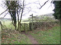
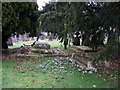
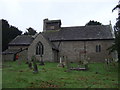
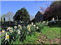
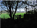
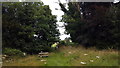
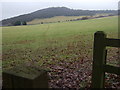
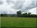
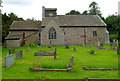
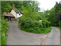
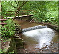
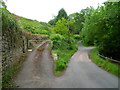
38 photos from this area
Area Information
Key information about the HR3 5RF including its size, population, and administrative classification.
- Area Type
- Postcode
- Area Size
- 66.8 hectares
- Population
- 1522
- Population Density
- 23 people/km²
House Prices in HR3 5RF
42
Properties
£358,079
Average Sold Price
£102,500
Lowest Price
£905,000
Highest Price
Showing 42 properties
| Address | Type | Beds | Baths | Last Sale Price | Last Sale Date | |
|---|---|---|---|---|---|---|
| Greystone, Three Ways Hill, Cusop Hay On Wye, HR3 5RF | Semi-detached | - | - | £385,000 | Mar 2025 | |
| Green House, Church Road Service Road, Cusop, HR3 5RF | house | - | - | £905,000 | Sep 2022 | |
| Stable Cottage, Cusop Footbridge Road, Cusop, HR3 5RF | Detached | 2 | 2 | £330,000 | Aug 2022 | |
| Stable Cottage, Cusop Dingle, Cusop, HR3 5RF | Flat | - | - | £330,000 | Aug 2022 | |
| Rosedale, Cusop Footbridge Road, Cusop, HR3 5RF | Detached | 7 | 4 | £630,000 | Jun 2022 | |
| Westbury, Church Road, Cusop Hay On Wye, HR3 5RF | house | - | - | £375,000 | Apr 2019 | |
| Trigfan, Church Road Service Road, Cusop, HR3 5RF | Detached | 3 | 2 | £290,000 | Feb 2018 | |
| School House, Three Ways Hill, Cusop Hay On Wye, HR3 5RF | Semi-detached | - | - | £287,000 | Aug 2017 | |
| Bredon, Church Road Service Road, Cusop, HR3 5RF | Detached | 4 | - | £655,000 | Feb 2017 | |
| Cefn Bryn, Church Road Service Road, Cusop, HR3 5RF | Detached | 5 | 2 | £380,000 | Feb 2017 |
Page 1 of 5
Energy Efficiency in HR3 5RF
Amenities
Schools
| Rank | School | Type | Entry gender | Ages |
|---|
Explore more schools in this area
Go to Schools tabDemographics
Household Size
Two person
most common
Accommodation Type
Houses
most common
Tenure
78
majority
Ethnic Group
White
most common
Religion
N/A
most common
Household Composition
N/A
most common
Age
47
median
Adults (30-64 years)
most common
Household Deprivation
N/A
with no deprivation
NS-SEC
41
in Lower managerial occupations
Explore more demographic insights in this area
Go to Demographics tabPlanning
Planning Constraints
- Flood RiskPremium
- Ramsar Wetland SitesPremium
- Area of Outstanding Natural BeautyPremium
- Protected Nature ReservePremium
- Protected WoodlandPremium