Area Overview for HR3 5RD
Photos of HR3 5RD
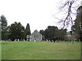
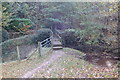
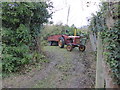
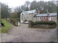
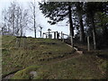
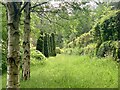

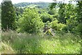
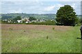
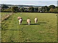
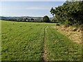
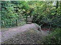
69 photos from this area
Area Information
Key information about the HR3 5RD including its size, population, and administrative classification.
- Area Type
- Postcode
- Area Size
- 10.8 hectares
- Population
- 1522
- Population Density
- 23 people/km²
House Prices in HR3 5RD
28
Properties
£340,300
Average Sold Price
£66,000
Lowest Price
£625,000
Highest Price
Showing 28 properties
| Address | Type | Beds | Baths | Last Sale Price | Last Sale Date | |
|---|---|---|---|---|---|---|
| Thorndyke, Cusop Dingle, Cusop, HR3 5RD | Bungalow | - | - | £535,000 | Dec 2021 | |
| Runnymede, Cusop Dingle, Cusop, HR3 5RD | Detached | 4 | - | £480,000 | Oct 2017 | |
| Upper Dulas, Cusop Dingle, Cusop, HR3 5RD | Detached | 4 | 2 | £625,000 | Jan 2017 | |
| Treleaver, Cusop Dingle, Cusop, HR3 5RD | Detached | 3 | 1 | £467,500 | Dec 2016 | |
| Brynglas, Cusop Dingle, Cusop, HR3 5RD | Bungalow | - | - | £352,500 | Jul 2016 | |
| Barberry House, Cusop Dingle, Cusop, HR3 5RD | Detached | 3 | - | £350,000 | Oct 2015 | |
| 1 Coronation Terrace, Cusop Hay On Wye, HR3 5RD | Terraced | 3 | 1 | £198,000 | Jun 2014 | |
| Harlequin House, Cusop Dingle, Cusop, HR3 5RD | Detached | - | - | £415,000 | Jul 2010 | |
| Whetroyd, Cusop Dingle, Cusop, HR3 5RD | Detached | - | - | £124,000 | Sep 2008 | |
| Glannant, Cusop Dingle, Cusop, HR3 5RD | Detached | - | - | £425,000 | Nov 2007 |
Page 1 of 3
Energy Efficiency in HR3 5RD
Amenities
Schools
| Rank | School | Type | Entry gender | Ages |
|---|
Explore more schools in this area
Go to Schools tabDemographics
Household Size
Two person
most common
Accommodation Type
Houses
most common
Tenure
78
majority
Ethnic Group
White
most common
Religion
N/A
most common
Household Composition
N/A
most common
Age
47
median
Adults (30-64 years)
most common
Household Deprivation
N/A
with no deprivation
NS-SEC
41
in Lower managerial occupations
Explore more demographic insights in this area
Go to Demographics tabPlanning
Planning Constraints
- Flood RiskPremium
- Ramsar Wetland SitesPremium
- Area of Outstanding Natural BeautyPremium
- Protected Nature ReservePremium
- Protected WoodlandPremium