Area Overview for HR2 7TD
Photos of HR2 7TD
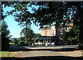
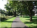
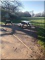
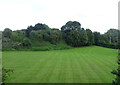
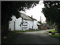
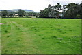
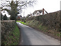
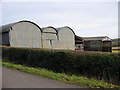
12 photos from this area
Area Information
Key information about the HR2 7TD including its size, population, and administrative classification.
- Area Type
- Postcode
- Area Size
- 1.8 hectares
- Population
- 1542
- Population Density
- 2899 people/km²
House Prices in HR2 7TD
36
Properties
£118,258
Average Sold Price
£45,000
Lowest Price
£217,500
Highest Price
Showing 36 properties
| Address | Type | Beds | Baths | Last Sale Price | Last Sale Date | |
|---|---|---|---|---|---|---|
| 40 Marcle Walk, Hereford, HR2 7TD | Flat | - | - | £127,000 | Sep 2024 | |
| 19 Marcle Walk, Hereford, HR2 7TD | Semi-detached | 3 | 1 | £194,000 | Jun 2024 | |
| 38 Marcle Walk, Hereford, HR2 7TD | Flat | 1 | 1 | £99,950 | Oct 2023 | |
| 5 Marcle Walk, Hereford, HR2 7TD | Terraced | 3 | 1 | £217,500 | Nov 2022 | |
| 7 Marcle Walk, Hereford, HR2 7TD | Terraced | 3 | 1 | £164,500 | Aug 2021 | |
| 26 Marcle Walk, Hereford, HR2 7TD | house | - | - | £148,000 | Jul 2021 | |
| 42 Marcle Walk, Hereford, HR2 7TD | Flat | - | - | £110,000 | Oct 2018 | |
| 1 Marcle Walk, Hereford, HR2 7TD | Terraced | 3 | 1 | £145,000 | Feb 2018 | |
| 27 Marcle Walk, Hereford, HR2 7TD | Terraced | 2 | 1 | £167,000 | Dec 2017 | |
| 41 Marcle Walk, Hereford, HR2 7TD | Flat | 2 | 1 | £89,000 | Mar 2017 |
Page 1 of 4
Energy Efficiency in HR2 7TD
Amenities
Schools
| Rank | School | Type | Entry gender | Ages |
|---|
Explore more schools in this area
Go to Schools tabDemographics
Household Size
Family (3-5 people)
most common
Accommodation Type
Houses
most common
Tenure
46
majority
Ethnic Group
White
most common
Religion
N/A
most common
Household Composition
N/A
most common
Age
47
median
Adults (30-64 years)
most common
Household Deprivation
N/A
with no deprivation
NS-SEC
19
in Lower managerial occupations
Explore more demographic insights in this area
Go to Demographics tabPlanning
Planning Constraints
- Flood RiskPremium
- Ramsar Wetland SitesPremium
- Area of Outstanding Natural BeautyPremium
- Protected Nature ReservePremium
- Protected WoodlandPremium