Area Overview for HR2 7TA
Photos of HR2 7TA
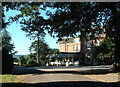
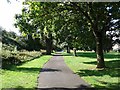
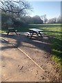
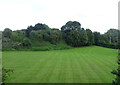
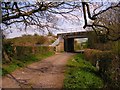
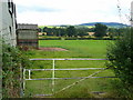
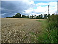
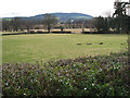
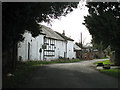
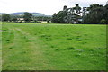
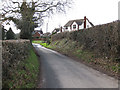
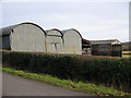
12 photos from this area
Area Information
Key information about the HR2 7TA including its size, population, and administrative classification.
- Area Type
- Postcode
- Area Size
- 8591 m²
- Population
- 1542
- Population Density
- 2899 people/km²
House Prices in HR2 7TA
41
Properties
£115,047
Average Sold Price
£34,000
Lowest Price
£230,000
Highest Price
Showing 41 properties
| Address | Type | Beds | Baths | Last Sale Price | Last Sale Date | |
|---|---|---|---|---|---|---|
| 18 Pixley Walk, Hereford, HR2 7TA | Detached | 3 | 1 | £182,000 | Feb 2025 | |
| 40 Pixley Walk, Hereford, HR2 7TA | Terraced | 3 | 1 | £230,000 | Feb 2025 | |
| 16 Pixley Walk, Hereford, HR2 7TA | house | - | - | £192,000 | Aug 2024 | |
| 13 Pixley Walk, Hereford, HR2 7TA | house | - | - | £180,000 | Sep 2023 | |
| 12 Pixley Walk, Hereford, HR2 7TA | house | - | - | £215,000 | Sep 2023 | |
| 5 Pixley Walk, Hereford, HR2 7TA | Flat | - | - | £100,000 | Aug 2016 | |
| 8 Pixley Walk, Hereford, HR2 7TA | house | - | - | £145,000 | Oct 2015 | |
| 15 Pixley Walk, Hereford, HR2 7TA | Terraced | 2 | 1 | £120,000 | Mar 2014 | |
| 23 Pixley Walk, Hereford, HR2 7TA | Terraced | 2 | 1 | £115,000 | Sep 2010 | |
| 22 Pixley Walk, Hereford, HR2 7TA | house | - | - | £129,000 | Sep 2010 |
Page 1 of 5
Energy Efficiency in HR2 7TA
Amenities
Schools
| Rank | School | Type | Entry gender | Ages |
|---|
Explore more schools in this area
Go to Schools tabDemographics
Household Size
Family (3-5 people)
most common
Accommodation Type
Houses
most common
Tenure
46
majority
Ethnic Group
White
most common
Religion
N/A
most common
Household Composition
N/A
most common
Age
47
median
Adults (30-64 years)
most common
Household Deprivation
N/A
with no deprivation
NS-SEC
19
in Lower managerial occupations
Explore more demographic insights in this area
Go to Demographics tabPlanning
Planning Constraints
- Flood RiskPremium
- Ramsar Wetland SitesPremium
- Area of Outstanding Natural BeautyPremium
- Protected Nature ReservePremium
- Protected WoodlandPremium