Area Overview for HR2 7NH
Photos of HR2 7NH
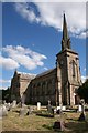
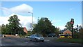
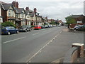
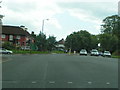
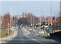
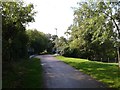
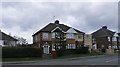
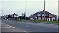
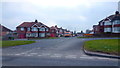
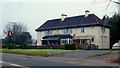

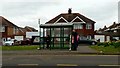
100 photos from this area
Area Information
Key information about the HR2 7NH including its size, population, and administrative classification.
- Area Type
- Postcode
- Area Size
- 1.1 hectares
- Population
- 1466
- Population Density
- 5249 people/km²
House Prices in HR2 7NH
36
Properties
£116,828
Average Sold Price
£13,600
Lowest Price
£195,000
Highest Price
Showing 36 properties
| Address | Type | Beds | Baths | Last Sale Price | Last Sale Date | |
|---|---|---|---|---|---|---|
| 44 Monnow Crescent, Hereford, HR2 7NH | house | - | - | £195,000 | Jun 2025 | |
| 26 Monnow Crescent, Hereford, HR2 7NH | Semi-detached | 3 | 1 | £160,000 | Sep 2022 | |
| 8 Monnow Crescent, Hereford, HR2 7NH | house | - | - | £157,000 | May 2021 | |
| 21 Monnow Crescent, Hereford, HR2 7NH | Semi-detached | 3 | 1 | £129,000 | Jan 2020 | |
| 24 Monnow Crescent, Hereford, HR2 7NH | house | 3 | - | £138,000 | Jul 2012 | |
| 1 Monnow Crescent, Hereford, HR2 7NH | Semi-detached | - | - | £145,000 | Mar 2007 | |
| 38 Monnow Crescent, Hereford, HR2 7NH | house | 3 | - | £135,000 | May 2006 | |
| 22 Monnow Crescent, Hereford, HR2 7NH | house | - | - | £122,000 | Jul 2005 | |
| 23 Monnow Crescent, Hereford, HR2 7NH | house | - | - | £120,000 | Apr 2005 | |
| 36 Monnow Crescent, Hereford, HR2 7NH | Semi-detached | - | - | £17,340 | Nov 2002 |
Page 1 of 4
Energy Efficiency in HR2 7NH
Amenities
Schools
| Rank | School | Type | Entry gender | Ages |
|---|
Explore more schools in this area
Go to Schools tabDemographics
Household Size
One person
most common
Accommodation Type
Houses
most common
Tenure
42
majority
Ethnic Group
White
most common
Religion
N/A
most common
Household Composition
N/A
most common
Age
47
median
Adults (30-64 years)
most common
Household Deprivation
N/A
with no deprivation
NS-SEC
16
in Lower managerial occupations
Explore more demographic insights in this area
Go to Demographics tabPlanning
Planning Constraints
- Flood RiskPremium
- Ramsar Wetland SitesPremium
- Area of Outstanding Natural BeautyPremium
- Protected Nature ReservePremium
- Protected WoodlandPremium