Area Overview for HR2 7JU
Photos of HR2 7JU

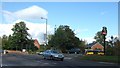
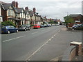
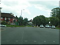

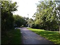
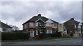
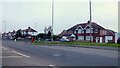
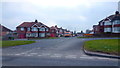
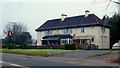

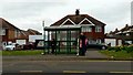
100 photos from this area
Area Information
Key information about the HR2 7JU including its size, population, and administrative classification.
- Area Type
- Postcode
- Area Size
- 1.7 hectares
- Population
- 2304
- Population Density
- 5356 people/km²
House Prices in HR2 7JU
32
Properties
£166,567
Average Sold Price
£53,000
Lowest Price
£258,000
Highest Price
Showing 32 properties
| Address | Type | Beds | Baths | Last Sale Price | Last Sale Date | |
|---|---|---|---|---|---|---|
| 39 Walnut Tree Avenue, Hereford, HR2 7JU | Bungalow | 2 | 1 | £258,000 | Mar 2025 | |
| 61 Walnut Tree Avenue, Hereford, HR2 7JU | Terraced | 3 | 1 | £200,000 | Jul 2023 | |
| 40 Walnut Tree Avenue, Hereford, HR2 7JU | Semi-detached | 3 | 1 | £218,500 | Jul 2023 | |
| 32 Walnut Tree Avenue, Hereford, HR2 7JU | Bungalow | - | - | £230,000 | Oct 2022 | |
| 59 Walnut Tree Avenue, Hereford, HR2 7JU | house | 3 | 1 | £210,000 | May 2022 | |
| 75 Walnut Tree Avenue, Hereford, HR2 7JU | house | - | - | £170,000 | Jan 2022 | |
| 34 Walnut Tree Avenue, Hereford, HR2 7JU | Bungalow | - | - | £199,950 | Aug 2021 | |
| 51 Walnut Tree Avenue, Hereford, HR2 7JU | Detached | 3 | 1 | £220,000 | Oct 2019 | |
| 63 Walnut Tree Avenue, Hereford, HR2 7JU | Terraced | 3 | 1 | £170,000 | Sep 2019 | |
| 81 Walnut Tree Avenue, Hereford, HR2 7JU | house | - | - | £150,000 | Aug 2018 |
Page 1 of 4
Energy Efficiency in HR2 7JU
Amenities
Schools
| Rank | School | Type | Entry gender | Ages |
|---|
Explore more schools in this area
Go to Schools tabDemographics
Household Size
Family (3-5 people)
most common
Accommodation Type
Houses
most common
Tenure
72
majority
Ethnic Group
White
most common
Religion
N/A
most common
Household Composition
N/A
most common
Age
47
median
Adults (30-64 years)
most common
Household Deprivation
N/A
with no deprivation
NS-SEC
27
in Lower managerial occupations
Explore more demographic insights in this area
Go to Demographics tabPlanning
Planning Constraints
- Flood RiskPremium
- Ramsar Wetland SitesPremium
- Area of Outstanding Natural BeautyPremium
- Protected Nature ReservePremium
- Protected WoodlandPremium