Area Overview for HR1 4JY
Photos of HR1 4JY
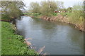
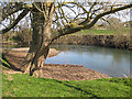

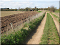
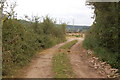
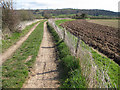
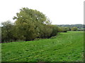
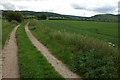
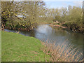
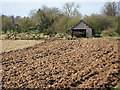
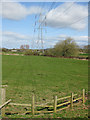
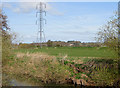
25 photos from this area
Area Information
Key information about the HR1 4JY including its size, population, and administrative classification.
- Area Type
- Postcode
- Area Size
- 35.5 hectares
- Population
- 2100
- Population Density
- 84 people/km²
House Prices in HR1 4JY
21
Properties
£337,591
Average Sold Price
£140,000
Lowest Price
£785,000
Highest Price
Showing 21 properties
| Address | Type | Beds | Baths | Last Sale Price | Last Sale Date | |
|---|---|---|---|---|---|---|
| Orchard Bank, Priors View Access Road, Hampton Bishop, HR1 4JY | Detached | 4 | 2 | £520,000 | Jan 2021 | |
| Church Villa, Church Lane, Hampton Bishop, HR1 4JY | Detached | 3 | - | £256,000 | May 2017 | |
| Old Timbers, Church Lane, Hampton Bishop, HR1 4JY | Detached | - | - | £195,000 | Aug 2016 | |
| Hampton House Cottage, Church Lane, Hampton Bishop, HR1 4JY | house | - | - | £250,000 | Jan 2016 | |
| The Elms, Church Lane, Hampton Bishop, HR1 4JY | Equestrian | 4 | 2 | £785,000 | Feb 2015 | |
| Swallowfields, From Church Lane To Odstock Property, Hampton Bishop, HR1 4JY | Detached | 3 | - | £395,000 | Jul 2014 | |
| May Cottage, From Church Lane To Odstock Property, Hampton Bishop, HR1 4JY | Detached | - | - | £365,000 | Nov 2006 | |
| Churchbells, Priors View Access Road, Hampton Bishop, HR1 4JY | Detached | 5 | 3 | £375,000 | Jan 2004 | |
| The Willows, Priors View Access Road, Hampton Bishop, HR1 4JY | Detached | 5 | 3 | £275,000 | Apr 2000 | |
| Hollywell, From Church Lane To Odstock Property, Hampton Bishop, HR1 4JY | Detached | - | - | £140,000 | May 1996 |
Page 1 of 3
Energy Efficiency in HR1 4JY
Amenities
Schools
| Rank | School | Type | Entry gender | Ages |
|---|
Explore more schools in this area
Go to Schools tabDemographics
Household Size
Two person
most common
Accommodation Type
Houses
most common
Tenure
77
majority
Ethnic Group
White
most common
Religion
N/A
most common
Household Composition
N/A
most common
Age
47
median
Adults (30-64 years)
most common
Household Deprivation
N/A
with no deprivation
NS-SEC
37
in Lower managerial occupations
Explore more demographic insights in this area
Go to Demographics tabPlanning
Planning Constraints
- Flood RiskPremium
- Ramsar Wetland SitesPremium
- Area of Outstanding Natural BeautyPremium
- Protected Nature ReservePremium
- Protected WoodlandPremium