Area Overview for DY9 9LL
Photos of DY9 9LL
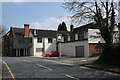
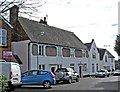

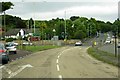
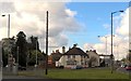
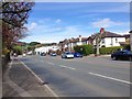
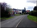
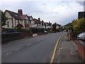

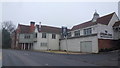
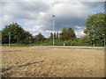
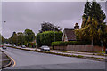
59 photos from this area
Area Information
Key information about the DY9 9LL including its size, population, and administrative classification.
- Area Type
- Postcode
- Area Size
- 2.4 hectares
- Population
- 1520
- Population Density
- 285 people/km²
House Prices in DY9 9LL
20
Properties
£427,559
Average Sold Price
£235,000
Lowest Price
£713,500
Highest Price
Showing 20 properties
| Address | Type | Beds | Baths | Last Sale Price | Last Sale Date | |
|---|---|---|---|---|---|---|
| 7 Hall Lane, Hagley, DY9 9LL | house | - | - | £713,500 | Jun 2025 | |
| 26 Hall Lane, Hagley, DY9 9LL | house | - | - | £383,000 | Mar 2024 | |
| 4 Hall Lane, Hagley, DY9 9LL | house | - | - | £485,000 | Mar 2020 | |
| 11 Hall Lane, Hagley, DY9 9LL | Detached | 4 | 2 | £440,000 | Oct 2019 | |
| 8 Hall Lane, Hagley, DY9 9LL | house | 3 | - | £416,000 | Oct 2017 | |
| 15 Hall Lane, Hagley, DY9 9LL | house | - | - | £430,000 | Sep 2017 | |
| 30 Hall Lane, Hagley, DY9 9LL | house | - | - | £382,000 | Jul 2017 | |
| 2 Hall Lane, Hagley, DY9 9LL | Detached | 3 | - | £385,000 | Nov 2015 | |
| 28 Hall Lane, Hagley, DY9 9LL | Semi-detached | 4 | - | £390,000 | Sep 2014 | |
| 12 Hall Lane, Hagley, DY9 9LL | house | - | - | £300,000 | Oct 2012 |
Page 1 of 2
Energy Efficiency in DY9 9LL
Amenities
Schools
| Rank | School | Type | Entry gender | Ages |
|---|
Explore more schools in this area
Go to Schools tabDemographics
Household Size
Family (3-5 people)
most common
Accommodation Type
Houses
most common
Tenure
86
majority
Ethnic Group
White
most common
Religion
N/A
most common
Household Composition
N/A
most common
Age
47
median
Adults (30-64 years)
most common
Household Deprivation
N/A
with no deprivation
NS-SEC
49
in Lower managerial occupations
Explore more demographic insights in this area
Go to Demographics tabPlanning
Planning Constraints
- Flood RiskPremium
- Ramsar Wetland SitesPremium
- Area of Outstanding Natural BeautyPremium
- Protected Nature ReservePremium
- Protected WoodlandPremium