Area Overview for DY9 9LH
Photos of DY9 9LH
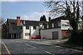
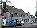
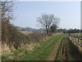
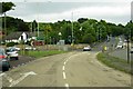
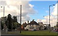
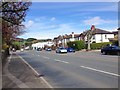
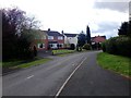
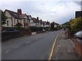
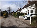
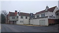
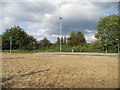
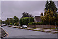
59 photos from this area
Area Information
Key information about the DY9 9LH including its size, population, and administrative classification.
- Area Type
- Postcode
- Area Size
- 1.1 hectares
- Population
- 1520
- Population Density
- 285 people/km²
House Prices in DY9 9LH
13
Properties
£544,750
Average Sold Price
£290,000
Lowest Price
£870,000
Highest Price
Showing 13 properties
| Address | Type | Beds | Baths | Last Sale Price | Last Sale Date | |
|---|---|---|---|---|---|---|
| 54 Hall Lane, Hagley, DY9 9LH | house | 3 | - | £870,000 | Jun 2021 | |
| 32 Hall Lane, Hagley, DY9 9LH | Bungalow | 3 | - | £550,000 | Aug 2020 | |
| 42 Hall Lane, Hagley, DY9 9LH | house | - | - | £540,000 | Oct 2018 | |
| 40 Hall Lane, Hagley, DY9 9LH | house | - | - | £528,000 | May 2018 | |
| 34 Hall Lane, Hagley, DY9 9LH | house | - | - | £510,000 | May 2017 | |
| 48 Hall Lane, Hagley, DY9 9LH | house | 5 | - | £670,000 | Aug 2014 | |
| 44 Hall Lane, Hagley, DY9 9LH | Detached | - | - | £400,000 | Sep 2004 | |
| 46 Hall Lane, Hagley, DY9 9LH | Detached | 4 | 2 | £290,000 | Aug 2001 | |
| 56 Hall Lane, Hagley, DY9 9LH | Detached | 5 | 2 | - | - | |
| 52 Hall Lane, Hagley, DY9 9LH | Detached | - | - | - | - |
Page 1 of 2
Energy Efficiency in DY9 9LH
Amenities
Schools
| Rank | School | Type | Entry gender | Ages |
|---|
Explore more schools in this area
Go to Schools tabDemographics
Household Size
Family (3-5 people)
most common
Accommodation Type
Houses
most common
Tenure
86
majority
Ethnic Group
White
most common
Religion
N/A
most common
Household Composition
N/A
most common
Age
47
median
Adults (30-64 years)
most common
Household Deprivation
N/A
with no deprivation
NS-SEC
49
in Lower managerial occupations
Explore more demographic insights in this area
Go to Demographics tabPlanning
Planning Constraints
- Flood RiskPremium
- Ramsar Wetland SitesPremium
- Area of Outstanding Natural BeautyPremium
- Protected Nature ReservePremium
- Protected WoodlandPremium