Area Overview for DY9 0RJ
Photos of DY9 0RJ
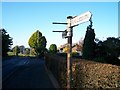
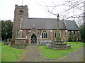
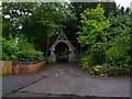
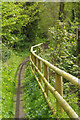
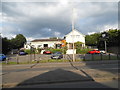
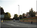
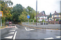
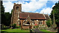
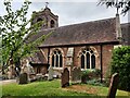
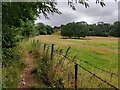
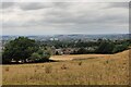
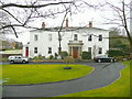
27 photos from this area
Area Information
Key information about the DY9 0RJ including its size, population, and administrative classification.
- Area Type
- Postcode
- Area Size
- 2.0 hectares
- Population
- 1503
- Population Density
- 3288 people/km²
House Prices in DY9 0RJ
25
Properties
£368,214
Average Sold Price
£160,000
Lowest Price
£695,000
Highest Price
Showing 25 properties
| Address | Type | Beds | Baths | Last Sale Price | Last Sale Date | |
|---|---|---|---|---|---|---|
| 305 Hagley Road, Stourbridge, DY9 0RJ | Detached | 3 | 2 | £470,000 | Oct 2025 | |
| 273 Hagley Road, Stourbridge, DY9 0RJ | house | 4 | 2 | £580,000 | Sep 2024 | |
| 261 Hagley Road, Stourbridge, DY9 0RJ | house | 3 | 1 | £490,000 | Sep 2023 | |
| 267 Hagley Road, Stourbridge, DY9 0RJ | Detached | 3 | 1 | £393,000 | Sep 2021 | |
| Mead House, 281 Hagley Road, Stourbridge, DY9 0RJ | house | - | - | £695,000 | May 2021 | |
| 291 Hagley Road, Stourbridge, DY9 0RJ | Detached | 5 | 3 | £575,000 | Sep 2020 | |
| 307 Hagley Road, Stourbridge, DY9 0RJ | Bungalow | - | - | £295,000 | Feb 2017 | |
| 283 Hagley Road, Stourbridge, DY9 0RJ | house | - | - | £500,000 | Nov 2014 | |
| 265 Hagley Road, Stourbridge, DY9 0RJ | Semi-detached | 4 | 1 | £245,000 | Nov 2013 | |
| 269 Hagley Road, Stourbridge, DY9 0RJ | Detached | 4 | - | £274,000 | Aug 2013 |
Page 1 of 3
Energy Efficiency in DY9 0RJ
Amenities
Schools
| Rank | School | Type | Entry gender | Ages |
|---|
Explore more schools in this area
Go to Schools tabDemographics
Household Size
Two person
most common
Accommodation Type
Houses
most common
Tenure
90
majority
Ethnic Group
White
most common
Religion
N/A
most common
Household Composition
N/A
most common
Age
47
median
Adults (30-64 years)
most common
Household Deprivation
N/A
with no deprivation
NS-SEC
51
in Lower managerial occupations
Explore more demographic insights in this area
Go to Demographics tabPlanning
Planning Constraints
- Flood RiskPremium
- Ramsar Wetland SitesPremium
- Area of Outstanding Natural BeautyPremium
- Protected Nature ReservePremium
- Protected WoodlandPremium