Area Overview for DY8 4NF
Photos of DY8 4NF

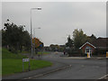
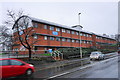
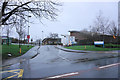
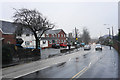
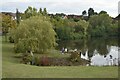

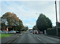
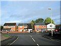
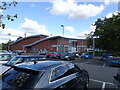
46 photos from this area
Area Information
Key information about the DY8 4NF including its size, population, and administrative classification.
- Area Type
- Postcode
- Area Size
- 8107 m²
- Population
- 1462
- Population Density
- 4102 people/km²
House Prices in DY8 4NF
22
Properties
£159,184
Average Sold Price
£67,000
Lowest Price
£260,000
Highest Price
Showing 22 properties
| Address | Type | Beds | Baths | Last Sale Price | Last Sale Date | |
|---|---|---|---|---|---|---|
| 14 Burns Close, Amblecote, DY8 4NF | Semi-detached | 2 | 1 | £193,000 | Aug 2024 | |
| 12 Burns Close, Amblecote, DY8 4NF | Semi-detached | 2 | 1 | £197,500 | Jun 2023 | |
| 22 Burns Close, Amblecote, DY8 4NF | Detached | 5 | - | £260,000 | Mar 2021 | |
| 11 Burns Close, Amblecote, DY8 4NF | Detached | 4 | 1 | £249,950 | Jul 2019 | |
| 16 Burns Close, Amblecote, DY8 4NF | Detached | 3 | 1 | £175,000 | Aug 2018 | |
| 19 Burns Close, Amblecote, DY8 4NF | Detached | 3 | - | £170,000 | Jul 2017 | |
| 2 Burns Close, Amblecote, DY8 4NF | Detached | 4 | 1 | £210,000 | Nov 2015 | |
| 7 Burns Close, Amblecote, DY8 4NF | Detached | 3 | - | £145,000 | Aug 2013 | |
| 4 Burns Close, Amblecote, DY8 4NF | house | - | - | £174,000 | May 2008 | |
| 17 Burns Close, Amblecote, DY8 4NF | Detached | 4 | 1 | £173,000 | Jul 2005 |
Page 1 of 3
Energy Efficiency in DY8 4NF
Amenities
Schools
| Rank | School | Type | Entry gender | Ages |
|---|
Explore more schools in this area
Go to Schools tabDemographics
Household Size
Two person
most common
Accommodation Type
Houses
most common
Tenure
79
majority
Ethnic Group
White
most common
Religion
N/A
most common
Household Composition
N/A
most common
Age
47
median
Adults (30-64 years)
most common
Household Deprivation
N/A
with no deprivation
NS-SEC
41
in Lower managerial occupations
Explore more demographic insights in this area
Go to Demographics tabPlanning
Planning Constraints
- Flood RiskPremium
- Ramsar Wetland SitesPremium
- Area of Outstanding Natural BeautyPremium
- Protected Nature ReservePremium
- Protected WoodlandPremium