Area Overview for DE14 1BX
Photos of DE14 1BX

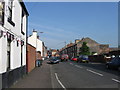
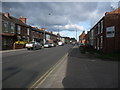
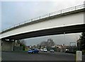
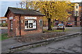
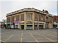
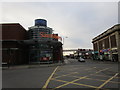
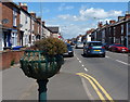
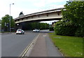
100 photos from this area
Area Information
Key information about the DE14 1BX including its size, population, and administrative classification.
- Area Type
- Postcode
- Area Size
- 4.6 hectares
- Population
- 1432
- Population Density
- 1032 people/km²
House Prices in DE14 1BX
10
Properties
-
Average Sold Price
-
Lowest Price
-
Highest Price
Showing 10 properties
| Address | Type | Beds | Baths | Last Sale Price | Last Sale Date | |
|---|---|---|---|---|---|---|
| 129 Station Street, Burton Upon Trent, DE14 1BX | house | - | - | - | - | |
| The O Connor Gateway Trust, 127 Station Street, Burton Upon Trent, DE14 1BX | Office | - | - | - | - | |
| 130-131 Station Street, Burton Upon Trent, DE14 1BX | house | - | - | - | - | |
| The Guildhall, 120 Station Street, Burton Upon Trent, DE14 1BX | community_day_centre | - | - | - | - | |
| 128 Station Street, Burton Upon Trent, DE14 1BX | house | - | - | - | - | |
| The Burton Addiction Centre, 126 Station Street, Burton Upon Trent, DE14 1BX | house | - | - | - | - | |
| Optima, 107 Station Street, Burton Upon Trent, DE14 1BX | Office | - | - | - | - | |
| Punch Pub Company, 107 Station Street, Burton Upon Trent, DE14 1BX | Office | - | - | - | - | |
| Joiners Restaurant, 107 Station Street, Burton Upon Trent, DE14 1BX | Restaurant | - | - | - | - | |
| Inspired Gaming, First Floor At, 107 Station Street, Burton Upon Trent, DE14 1BX | Office | - | - | - | - |
Energy Efficiency in DE14 1BX
Amenities
Schools
| Rank | School | Type | Entry gender | Ages |
|---|
Explore more schools in this area
Go to Schools tabDemographics
Household Size
One person
most common
Accommodation Type
Houses
most common
Tenure
26
majority
Ethnic Group
White
most common
Religion
N/A
most common
Household Composition
N/A
most common
Age
47
median
Adults (30-64 years)
most common
Household Deprivation
N/A
with no deprivation
NS-SEC
20
in Lower managerial occupations
Explore more demographic insights in this area
Go to Demographics tabPlanning
Planning Constraints
- Flood RiskPremium
- Ramsar Wetland SitesPremium
- Area of Outstanding Natural BeautyPremium
- Protected Nature ReservePremium
- Protected WoodlandPremium