Area Overview for DE13 0YA
Photos of DE13 0YA
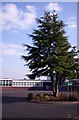
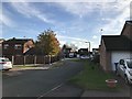
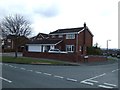
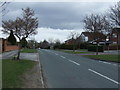
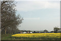
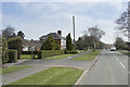
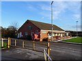
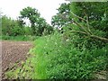
8 photos from this area
Area Information
Key information about the DE13 0YA including its size, population, and administrative classification.
- Area Type
- Postcode
- Area Size
- 4.8 hectares
- Population
- 1679
- Population Density
- 496 people/km²
House Prices in DE13 0YA
19
Properties
£248,667
Average Sold Price
£114,000
Lowest Price
£359,000
Highest Price
Showing 19 properties
| Address | Type | Beds | Baths | Last Sale Price | Last Sale Date | |
|---|---|---|---|---|---|---|
| 33 Nene Close, Stretton, DE13 0YA | Bungalow | - | - | £265,000 | Dec 2020 | |
| 28 Nene Close, Stretton, DE13 0YA | house | 4 | 2 | £245,000 | Nov 2017 | |
| 3 Nene Close, Stretton, DE13 0YA | Detached | 4 | 1 | £220,000 | Jan 2017 | |
| 23 Nene Close, Stretton, DE13 0YA | Detached | 4 | 3 | £312,500 | Sep 2016 | |
| 25 Nene Close, Stretton, DE13 0YA | Detached | 4 | 2 | £319,950 | Jul 2016 | |
| 26 Nene Close, Stretton, DE13 0YA | house | - | - | £240,101 | Mar 2016 | |
| 1 Nene Close, Stretton, DE13 0YA | Detached | 4 | 1 | £210,000 | Aug 2015 | |
| 29 Nene Close, Stretton, DE13 0YA | house | - | - | £259,950 | Aug 2015 | |
| 19 Nene Close, Stretton, DE13 0YA | Detached | 6 | - | £359,000 | Aug 2014 | |
| 27 Nene Close, Stretton, DE13 0YA | house | 4 | - | £232,500 | Aug 2010 |
Page 1 of 2
Energy Efficiency in DE13 0YA
Amenities
Schools
| Rank | School | Type | Entry gender | Ages |
|---|
Explore more schools in this area
Go to Schools tabDemographics
Household Size
Two person
most common
Accommodation Type
Houses
most common
Tenure
91
majority
Ethnic Group
White
most common
Religion
N/A
most common
Household Composition
N/A
most common
Age
47
median
Adults (30-64 years)
most common
Household Deprivation
N/A
with no deprivation
NS-SEC
45
in Lower managerial occupations
Explore more demographic insights in this area
Go to Demographics tabPlanning
Planning Constraints
- Flood RiskPremium
- Ramsar Wetland SitesPremium
- Area of Outstanding Natural BeautyPremium
- Protected Nature ReservePremium
- Protected WoodlandPremium