Area Overview for DE13 0XR
Photos of DE13 0XR
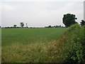
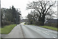
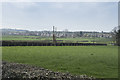
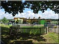
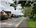
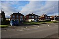
11 photos from this area
Area Information
Key information about the DE13 0XR including its size, population, and administrative classification.
- Area Type
- Postcode
- Area Size
- 1.3 hectares
- Population
- 1545
- Population Density
- 2309 people/km²
House Prices in DE13 0XR
21
Properties
£215,180
Average Sold Price
£65,500
Lowest Price
£375,000
Highest Price
Showing 21 properties
| Address | Type | Beds | Baths | Last Sale Price | Last Sale Date | |
|---|---|---|---|---|---|---|
| 13 Beowulf Covert, Stretton, DE13 0XR | Bungalow | - | - | £375,000 | Jun 2023 | |
| 6 Beowulf Covert, Stretton, DE13 0XR | Bungalow | - | - | £285,000 | May 2023 | |
| 10 Beowulf Covert, Stretton, DE13 0XR | Detached | 3 | 1 | £260,000 | Jul 2020 | |
| 3 Beowulf Covert, Stretton, DE13 0XR | Detached | 4 | 2 | £242,000 | Dec 2016 | |
| 8 Beowulf Covert, Stretton, DE13 0XR | Detached | 3 | 1 | £245,000 | Nov 2016 | |
| 15 Beowulf Covert, Stretton, DE13 0XR | Bungalow | 3 | 2 | £284,000 | Aug 2015 | |
| 18 Beowulf Covert, Stretton, DE13 0XR | house | - | - | £245,000 | Apr 2015 | |
| 19 Beowulf Covert, Stretton, DE13 0XR | Bungalow | - | - | £277,500 | Sep 2014 | |
| 5 Beowulf Covert, Stretton, DE13 0XR | Detached | 3 | - | £169,000 | Oct 2013 | |
| 9 Beowulf Covert, Stretton, DE13 0XR | Detached | - | - | £271,000 | May 2007 |
Page 1 of 3
Energy Efficiency in DE13 0XR
Amenities
Schools
| Rank | School | Type | Entry gender | Ages |
|---|
Explore more schools in this area
Go to Schools tabDemographics
Household Size
Two person
most common
Accommodation Type
Houses
most common
Tenure
95
majority
Ethnic Group
White
most common
Religion
N/A
most common
Household Composition
N/A
most common
Age
47
median
Adults (30-64 years)
most common
Household Deprivation
N/A
with no deprivation
NS-SEC
43
in Lower managerial occupations
Explore more demographic insights in this area
Go to Demographics tabPlanning
Planning Constraints
- Flood RiskPremium
- Ramsar Wetland SitesPremium
- Area of Outstanding Natural BeautyPremium
- Protected Nature ReservePremium
- Protected WoodlandPremium