Area Overview for DE13 0HD
Photos of DE13 0HD
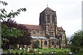
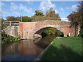
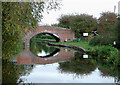
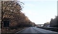
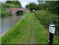
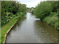
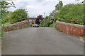
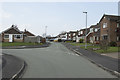
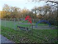
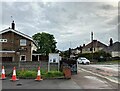
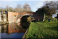
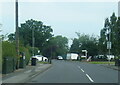
41 photos from this area
Area Information
Key information about the DE13 0HD including its size, population, and administrative classification.
- Area Type
- Postcode
- Area Size
- 2.6 hectares
- Population
- 1818
- Population Density
- 1577 people/km²
House Prices in DE13 0HD
35
Properties
£225,506
Average Sold Price
£60,000
Lowest Price
£590,000
Highest Price
Showing 35 properties
| Address | Type | Beds | Baths | Last Sale Price | Last Sale Date | |
|---|---|---|---|---|---|---|
| 43 Church Road, Stretton, DE13 0HD | Detached | 3 | 1 | £280,000 | Jul 2025 | |
| 52 Church Road, Stretton, DE13 0HD | Bungalow | 3 | 1 | £304,000 | Mar 2025 | |
| The White House, Guinevere Avenue, Stretton, DE13 0HD | house | - | - | £590,000 | Jan 2024 | |
| 49 Church Road, Stretton, DE13 0HD | Semi-detached | 3 | 2 | £285,000 | May 2023 | |
| 66 Church Road, Stretton, DE13 0HD | Bungalow | 2 | 1 | £282,000 | Apr 2023 | |
| 72 Church Road, Stretton, DE13 0HD | Bungalow | 3 | - | £292,000 | Jul 2022 | |
| Claysmore, 11 Church Road, Stretton, DE13 0HD | Detached | 4 | - | £450,000 | Sep 2019 | |
| 39 Church Road, Stretton, DE13 0HD | Bungalow | - | - | £190,000 | Jun 2018 | |
| 51 Church Road, Stretton, DE13 0HD | Semi-detached | 3 | - | £207,000 | Jun 2017 | |
| 58 Church Road, Stretton, DE13 0HD | Bungalow | - | - | £260,000 | Jun 2016 |
Page 1 of 4
Energy Efficiency in DE13 0HD
Amenities
Schools
| Rank | School | Type | Entry gender | Ages |
|---|
Explore more schools in this area
Go to Schools tabDemographics
Household Size
Two person
most common
Accommodation Type
Houses
most common
Tenure
81
majority
Ethnic Group
White
most common
Religion
N/A
most common
Household Composition
N/A
most common
Age
47
median
Adults (30-64 years)
most common
Household Deprivation
N/A
with no deprivation
NS-SEC
34
in Lower managerial occupations
Explore more demographic insights in this area
Go to Demographics tabPlanning
Planning Constraints
- Flood RiskPremium
- Ramsar Wetland SitesPremium
- Area of Outstanding Natural BeautyPremium
- Protected Nature ReservePremium
- Protected WoodlandPremium