Area Overview for DE13 0GZ
Photos of DE13 0GZ
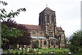
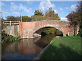
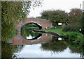
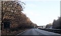
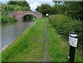
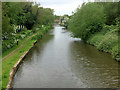
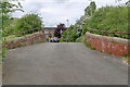
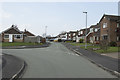
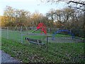
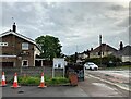
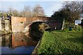
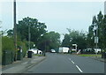
41 photos from this area
Area Information
Key information about the DE13 0GZ including its size, population, and administrative classification.
- Area Type
- Postcode
- Area Size
- 8556 m²
- Population
- 1818
- Population Density
- 1577 people/km²
House Prices in DE13 0GZ
17
Properties
£201,723
Average Sold Price
£72,000
Lowest Price
£295,000
Highest Price
Showing 17 properties
| Address | Type | Beds | Baths | Last Sale Price | Last Sale Date | |
|---|---|---|---|---|---|---|
| 8 Grunmore Drive, Stretton, DE13 0GZ | Detached | 2 | 1 | £260,000 | Nov 2021 | |
| 19 Grunmore Drive, Stretton, DE13 0GZ | house | - | - | £295,000 | Sep 2021 | |
| 1 Grunmore Drive, Stretton, DE13 0GZ | Detached | 4 | 2 | £290,000 | Aug 2020 | |
| 23 Grunmore Drive, Stretton, DE13 0GZ | Bungalow | - | - | £239,950 | May 2018 | |
| 14 Grunmore Drive, Stretton, DE13 0GZ | Bungalow | - | - | £220,000 | Sep 2016 | |
| 6 Grunmore Drive, Stretton, DE13 0GZ | Bungalow | 2 | 1 | £200,000 | May 2016 | |
| 3 Grunmore Drive, Stretton, DE13 0GZ | Detached | 4 | 2 | £179,000 | Jun 2008 | |
| 7 Grunmore Drive, Stretton, DE13 0GZ | Detached | - | - | £220,000 | Mar 2008 | |
| 12 Grunmore Drive, Stretton, DE13 0GZ | Detached | - | - | £159,000 | Nov 2003 | |
| 17 Grunmore Drive, Stretton, DE13 0GZ | Detached | - | - | £84,000 | Nov 1998 |
Page 1 of 2
Energy Efficiency in DE13 0GZ
Amenities
Schools
| Rank | School | Type | Entry gender | Ages |
|---|
Explore more schools in this area
Go to Schools tabDemographics
Household Size
Two person
most common
Accommodation Type
Houses
most common
Tenure
81
majority
Ethnic Group
White
most common
Religion
N/A
most common
Household Composition
N/A
most common
Age
47
median
Adults (30-64 years)
most common
Household Deprivation
N/A
with no deprivation
NS-SEC
34
in Lower managerial occupations
Explore more demographic insights in this area
Go to Demographics tabPlanning
Planning Constraints
- Flood RiskPremium
- Ramsar Wetland SitesPremium
- Area of Outstanding Natural BeautyPremium
- Protected Nature ReservePremium
- Protected WoodlandPremium